
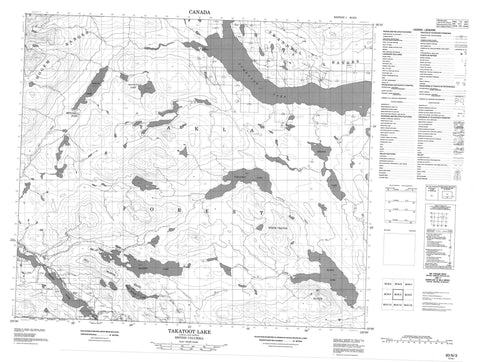
093N03 Takatoot Lake Canada topo map, 1:50,000 scale
093N03 Takatoot Lake NRCAN topographic map.
Includes UTM and GPS geographic coordinates (latitude and longitude). This 50k scale map is suitable for hiking, camping, and exploring, or you could frame it as a wall map.
Printed on-demand using high resolution, on heavy weight and acid free paper, or as an upgrade on a variety of synthetic materials.
Topos available on paper, Waterproof, Poly, or Tyvek. Usually shipping rolled, unless combined with other folded maps in one order.
- Product Number: NRCAN-093N03
- Parent Topo: TOPO-093N
- Map ID also known as: 093N03, 93N3, 93N03
- Unfolded Size: Approximately 26" high by 36" wide
- Weight (paper map): ca. 55 grams
- Map Type: POD NRCAN Topographic Map
- Map Scale: 1:50,000
- Geographical region: British Columbia, Canada
Neighboring Maps:
All neighboring Canadian topo maps are available for sale online at 1:50,000 scale.
Purchase the smaller scale map covering this area: Topo-093N
Spatial coverage:
Topo map sheet 093N03 Takatoot Lake covers the following places:
- Bihl' K' A Indian Reserve 18 - Dlah Koh 31 - Dlah Koh Indian Reserve 31 - Eagle Creek Indian Reserve 6 - Metso A Choot 23 - Metso A Choot Indian Reserve 23 - Réserve indienne Bihl' K' A 18 - Réserve indienne Dlah Koh 31 - Réserve indienne Eagle Creek 6 - Réserve indienne Metso A Choot 23 - Airline Lake - Dan Miner Lake - Elliott Lake - Glaucers Lake - Kloch Lake - MacDonald Lake - Purvis Lake - Takatoot Lake - Tchentlo Lake - Tlutsacho Lake - Bill Martin Ridge - Brûlé Hill - Hogem Ranges - Kwun Yótasi Range - Mitchell Range - Mount Kloch - Omineca Mountains - White Crater - Regional District of Bulkley-Nechako - Nechako Plateau - Dan Miner Creek - Fish Creek - Kloch Creek - Leo Creek - Middle River - Natazutlo Creek - O'Ne-ell Creek - Takatoot Creek - Tsitsutl Creek - Mitchell Pass


