
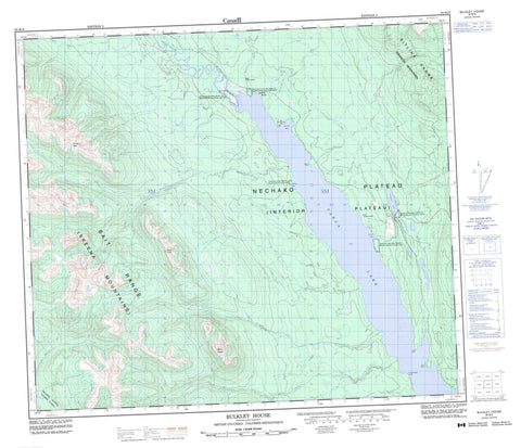
093M09 Bulkley House Canada topo map, 1:50,000 scale
093M09 Bulkley House NRCAN topographic map.
Includes UTM and GPS geographic coordinates (latitude and longitude). This 50k scale map is suitable for hiking, camping, and exploring, or you could frame it as a wall map.
Printed on-demand using high resolution, on heavy weight and acid free paper, or as an upgrade on a variety of synthetic materials.
Topos available on paper, Waterproof, Poly, or Tyvek. Usually shipping rolled, unless combined with other folded maps in one order.
- Product Number: NRCAN-093M09
- Parent Topo: TOPO-093M
- Map ID also known as: 093M09, 93M9, 93M09
- Unfolded Size: Approximately 26" high by 36" wide
- Weight (paper map): ca. 55 grams
- Map Type: POD NRCAN Topographic Map
- Map Scale: 1:50,000
- Geographical region: British Columbia, Canada
Neighboring Maps:
All neighboring Canadian topo maps are available for sale online at 1:50,000 scale.
Purchase the smaller scale map covering this area: Topo-093M
Spatial coverage:
Topo map sheet 093M09 Bulkley House covers the following places:
- Lovell Cove - Timber Bay - Tsaykut Bay - Wudtsi Point - Conglomerate Bluff - Red Bluff - White Bluff - Cheztainya Lake Indian Reserve 11 - North Tacla Lake (Bates Creek) Indian Reserve 10 - North Tacla Lake (North End Meadow) Indian Reserve 11A - Réserve indienne Cheztainya Lake 11 - Réserve indienne North Tacla Lake (Bates Creek) 10 - Réserve indienne North Tacla Lake (North End Meadow) 11A - Cheztainya Lake - Takla Lake - Bait Range - Centre Peak - Hogem Ranges - Mount Lovell - Mount Teegee - Omineca Mountains - Sitlika Range - Skeena Mountains - Regional District of Bulkley-Nechako - Ankwill Creek - Bates Creek - Boucher Creek - Charleston Creek - Driftwood River - Frypan Creek - Lovell Creek - Sitlika Creek - Bluff - Bulkley - Bulkley House - Lovell


