
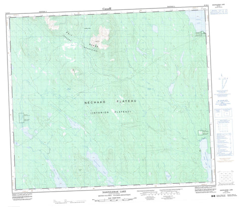
093M08 Nakinilerak Lake Canada topo map, 1:50,000 scale
093M08 Nakinilerak Lake NRCAN topographic map.
Includes UTM and GPS geographic coordinates (latitude and longitude). This 50k scale map is suitable for hiking, camping, and exploring, or you could frame it as a wall map.
Printed on-demand using high resolution, on heavy weight and acid free paper, or as an upgrade on a variety of synthetic materials.
Topos available on paper, Waterproof, Poly, or Tyvek. Usually shipping rolled, unless combined with other folded maps in one order.
- Product Number: NRCAN-093M08
- Parent Topo: TOPO-093M
- Map ID also known as: 093M08, 93M8, 93M08
- Unfolded Size: Approximately 26" high by 36" wide
- Weight (paper map): ca. 55 grams
- Map Type: POD NRCAN Topographic Map
- Map Scale: 1:50,000
- Geographical region: British Columbia, Canada
Neighboring Maps:
All neighboring Canadian topo maps are available for sale online at 1:50,000 scale.
Purchase the smaller scale map covering this area: Topo-093M
Spatial coverage:
Topo map sheet 093M08 Nakinilerak Lake covers the following places:
- Northwest Arm - Reef Bluff - North Tacla Lake (West Landing) Indian Reserve 8 - Réserve indienne North Tacla Lake (West Landing) 8 - Réserve indienne Tacla Lake (Ferry Landing) 9 - Réserve indienne Tahlo Lake 24 - Tacla Lake (Ferry Landing) Indian Reserve 9 - Tahlo Lake Indian Reserve 24 - Friday Lake - Haul Lake - Macdougall Lake - Morrison Lake - Nakinilerak Lake - Tahlo Lake - Takla Lake - Bait Range - Frypan Peak - Scorched Hill - Skeena Mountains - Trail Peak - Regional District of Bulkley-Nechako - Interior Plateau - Nechako Plateau - Beaverdale Creek - Dust Creek - Frypan Creek - Guitar Creek - Haul Creek - Macdougall Creek - Sinta Creek - Tahlo Creek - Williams Creek - West Landing - Frypan Pass


