
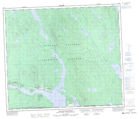
093M01 Old Fort Mountain Canada topo map, 1:50,000 scale
093M01 Old Fort Mountain NRCAN topographic map.
Includes UTM and GPS geographic coordinates (latitude and longitude). This 50k scale map is suitable for hiking, camping, and exploring, or you could frame it as a wall map.
Printed on-demand using high resolution, on heavy weight and acid free paper, or as an upgrade on a variety of synthetic materials.
Topos available on paper, Waterproof, Poly, or Tyvek. Usually shipping rolled, unless combined with other folded maps in one order.
- Product Number: NRCAN-093M01
- Parent Topo: TOPO-093M
- Map ID also known as: 093M01, 93M1, 93M01
- Unfolded Size: Approximately 26" high by 36" wide
- Weight (paper map): ca. 55 grams
- Map Type: POD NRCAN Topographic Map
- Map Scale: 1:50,000
- Geographical region: British Columbia, Canada
Neighboring Maps:
All neighboring Canadian topo maps are available for sale online at 1:50,000 scale.
Purchase the smaller scale map covering this area: Topo-093M
Spatial coverage:
Topo map sheet 093M01 Old Fort Mountain covers the following places:
- Hagan Arm - Northwest Arm - Newman Peninsula - Babine Lake Indian Reserve 20 - Chanoodandidalch Indian Reserve 14 - Michell Pierre Indian Reserve 12 - Nedoats Indian Reserve 11 - Nedoats Indian Reserve 13 - Ne-tsaw-greece Indian Reserve 10 - Réserve indienne Babine Lake 20 - Réserve indienne Chanoodandidalch 14 - Réserve indienne Michell Pierre 12 - Réserve indienne Nedoats 11 - Réserve indienne Nedoats 13 - Réserve indienne Ne-tsaw-greece 10 - Réserve indienne Tadinlay 15 - Tadinlay Indian Reserve 15 - McKendrick Island - Babine Lake - East Hautête Lake - Hautête Lake - Morrison Lake - Nakinilerak Lake - Natowite Lake - Nizik Lake - Takla Lake - Hearne Hill - Old Fort Mountain - Saddle Hill - Wedge Mountain - Regional District of Bulkley-Nechako - Interior Plateau - Nechako Plateau - Hautête Creek - MacDougall Creek - Macdougall Creek - MacDougall River - Morrison Creek - Nizik Creek - Old Fort - Granisle


