
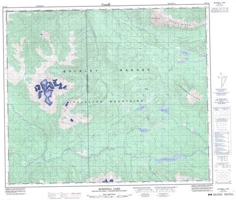
093L13 Mcdonell Lake Canada topo map, 1:50,000 scale
093L13 Mcdonell Lake NRCAN topographic map.
Includes UTM and GPS geographic coordinates (latitude and longitude). This 50k scale map is suitable for hiking, camping, and exploring, or you could frame it as a wall map.
Printed on-demand using high resolution, on heavy weight and acid free paper, or as an upgrade on a variety of synthetic materials.
Topos available on paper, Waterproof, Poly, or Tyvek. Usually shipping rolled, unless combined with other folded maps in one order.
- Product Number: NRCAN-093L13
- Parent Topo: TOPO-093L
- Map ID also known as: 093L13, 93L13
- Unfolded Size: Approximately 26" high by 36" wide
- Weight (paper map): ca. 55 grams
- Map Type: POD NRCAN Topographic Map
- Map Scale: 1:50,000
- Geographical region: British Columbia, Canada
Neighboring Maps:
All neighboring Canadian topo maps are available for sale online at 1:50,000 scale.
Purchase the smaller scale map covering this area: Topo-093L
Spatial coverage:
Topo map sheet 093L13 Mcdonell Lake covers the following places:
- Bud Lake - Hankin Lake - Jack Mould Lake - Kitseguecla Lake - Louise Lake - McDonell Lake - Sandstone Lake - Taltzen Lake - Ashman Ridge - Bulkley Ranges - Hazelton Mountains - Hudson Bay Range - Rocky Ridge - The Nipples - Regional District of Bulkley-Nechako - Regional District of Kitimat-Stikine - Coal Creek - John Brown Creek - Kitseguecla River - Kitsuns Creek - Mulwain Creek - Passby Creek - Red Canyon Creek - Sandstone Creek - Serb Creek - Trout Creek - Zymoetz River


