
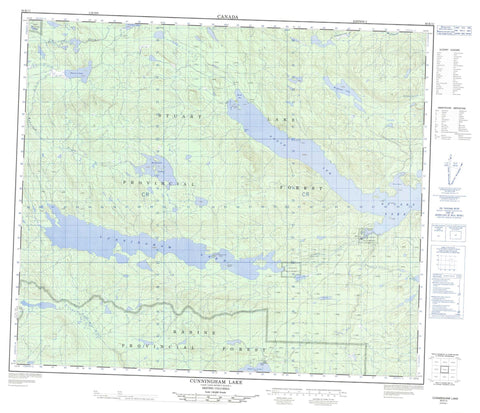
093K11 Cunningham Lake Canada topo map, 1:50,000 scale
093K11 Cunningham Lake NRCAN topographic map.
Includes UTM and GPS geographic coordinates (latitude and longitude). This 50k scale map is suitable for hiking, camping, and exploring, or you could frame it as a wall map.
Printed on-demand using high resolution, on heavy weight and acid free paper, or as an upgrade on a variety of synthetic materials.
Topos available on paper, Waterproof, Poly, or Tyvek. Usually shipping rolled, unless combined with other folded maps in one order.
- Product Number: NRCAN-093K11
- Parent Topo: TOPO-093K
- Map ID also known as: 093K11, 93K11
- Unfolded Size: Approximately 26" high by 36" wide
- Weight (paper map): ca. 55 grams
- Map Type: POD NRCAN Topographic Map
- Map Scale: 1:50,000
- Geographical region: British Columbia, Canada
Neighboring Maps:
All neighboring Canadian topo maps are available for sale online at 1:50,000 scale.
Purchase the smaller scale map covering this area: Topo-093K
Spatial coverage:
Topo map sheet 093K11 Cunningham Lake covers the following places:
- Davis Bay - Jus K'etl'o Bay - Monks Bay - Mud Bay - North Arm - Shaws Bay - Yekooche Bay - Bihl' K'a Chah 20 - Cunningham Lake Indian Reserve 11 - Hanson Indian Reserve 13 - Ihch'Az Uz Ta Tsoh 44 - Ihch'Az Uz Ta Tsoh Indian Reserve 44 - Jus K'Ay Tl'Oh 32 - Jus K'Ay Tl'Oh Indian Reserve 32 - La Tse Cho Diz 33 - La Tse Cho Diz Indian Reserve 33 - Nak'a Lat 39 - Nak'a Lat Indian Reserve 39 - Nan Tl'At Indian Reserve 13 - Nancut Indian Reserve 3 - Réserve indienne Cunningham Lake 11 - Réserve indienne Hanson 13 - Réserve indienne Ihch'Az Uz Ta Tsoh 44 - Réserve indienne Jus K'Ay Tl'Oh 32 - Réserve indienne La Tse Cho Diz 33 - Réserve indienne Nak'a Lat 39 - Réserve indienne Nan Tl'At 13 - Réserve indienne Nancut 3 - Réserve indienne Skooby Island 48 - Réserve indienne Ta Duhl' 36 - Réserve indienne Tse Bay Ha Tine A 34 - Réserve indienne Ucausley 16 - Réserve indienne Ucausley 4 - Réserve indienne Ye Koo Che 3 - Réserve indienne Ye Koos Lee 11 - Skooby Island 48 - Skooby Island Indian Reserve 48 - Ta Duhl' 36 - Ta Duhl' Indian Reserve 36 - Tse Bay Ha Tine A Indian Reserve 34 - Ucausley Indian Reserve 16 - Ucausley Indian Reserve 4 - Ye Koo Che Indian Reserve 3 - Ye Koos Lee Indian Reserve 11 - McKelvey Island - Skooby Island - Yakooche Island - Yekooche Island - Amy Lake - Babine Lake - Cunningham Lake - McKelvey Lake - Rubyrock Lake - Starret Lake - Stuart Lake - Trembleur Lake - Ucausley Lake - Whitefish Lake - Regional District of Bulkley-Nechako - Rubyrock Lake Park - Interior Plateau - Nechako Plateau - Butterfield Creek - Gullwing Creek - Nancut Creek - Rubyrock Creek - Tarnezell Creek - Ucausley Creek - West Tarnezell Creek - Whitefish Creek - Babine Portage - Rainbow Rock - Babine Portage - Nancut - Yekooche


