
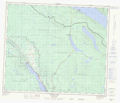
093K05 Decker Lake Canada topo map, 1:50,000 scale
093K05 Decker Lake NRCAN topographic map.
Includes UTM and GPS geographic coordinates (latitude and longitude). This 50k scale map is suitable for hiking, camping, and exploring, or you could frame it as a wall map.
Printed on-demand using high resolution, on heavy weight and acid free paper, or as an upgrade on a variety of synthetic materials.
Topos available on paper, Waterproof, Poly, or Tyvek. Usually shipping rolled, unless combined with other folded maps in one order.
- Product Number: NRCAN-093K05
- Parent Topo: TOPO-093K
- Map ID also known as: 093K05, 93K5, 93K05
- Unfolded Size: Approximately 26" high by 36" wide
- Weight (paper map): ca. 55 grams
- Map Type: POD NRCAN Topographic Map
- Map Scale: 1:50,000
- Geographical region: British Columbia, Canada
Neighboring Maps:
All neighboring Canadian topo maps are available for sale online at 1:50,000 scale.
Purchase the smaller scale map covering this area: Topo-093K
Spatial coverage:
Topo map sheet 093K05 Decker Lake covers the following places:
- Augier Lake Indian Reserve 22 - Babine Lake Indian Reserve 21B - Decker Lake Indian Reserve 10 - Decker Lake Indian Reserve 10A - Natazutlooh Indian Reserve 25 - Palling Indian Reserve 1 - Pinkut Lake Indian Reserve 23 - Réserve indienne Augier Lake 22 - Réserve indienne Babine Lake 21B - Réserve indienne Decker Lake 10 - Réserve indienne Decker Lake 10A - Réserve indienne Natazutlooh 25 - Réserve indienne Palling 1 - Réserve indienne Pinkut Lake 23 - Augier Lake - Babine Lake - Decker Lake - Division Lake - Fisher Lakes - Lewis Lake - Ling Lake - McKeown Lake - Nellian Lake - Nuphar Lake - Packrat Lake - Pinkut Lake - Shuldham Lake - Sponge Lake - Wort Lake - Boer Mountain - Boo Mountain - Regional District of Bulkley-Nechako - Ethel F. Wilson Memorial Park - Interior Plateau - Nechako Plateau - Allen Creek - Cross Creek - Decker Creek - Donalds Creek - Endako River - Forgie Creek - Gauvin Creek - Gerow Creek - Lakes Creek - Ling Creek - Pinkut Creek - Powder House Creek - Relief Creek - Rentoul Creek - Sauls Creek - Sheraton Creek - Stearns Creek - Tintagel Creek - Wardrop Creek - Decker Lake - Donald Landing - Palling - Palling - Wet'suwet'en Village


