
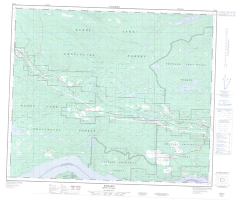
093K03 Endako Canada topo map, 1:50,000 scale
093K03 Endako NRCAN topographic map.
Includes UTM and GPS geographic coordinates (latitude and longitude). This 50k scale map is suitable for hiking, camping, and exploring, or you could frame it as a wall map.
Printed on-demand using high resolution, on heavy weight and acid free paper, or as an upgrade on a variety of synthetic materials.
Topos available on paper, Waterproof, Poly, or Tyvek. Usually shipping rolled, unless combined with other folded maps in one order.
- Product Number: NRCAN-093K03
- Parent Topo: TOPO-093K
- Map ID also known as: 093K03, 93K3, 93K03
- Unfolded Size: Approximately 26" high by 36" wide
- Weight (paper map): ca. 55 grams
- Map Type: POD NRCAN Topographic Map
- Map Scale: 1:50,000
- Geographical region: British Columbia, Canada
Neighboring Maps:
All neighboring Canadian topo maps are available for sale online at 1:50,000 scale.
Purchase the smaller scale map covering this area: Topo-093K
Spatial coverage:
Topo map sheet 093K03 Endako covers the following places:
- Alligator Point - Chapel Park Indian Reserve 28 - Réserve indienne Chapel Park 28 - Réserve indienne Sheraton Creek 19 - Sheraton Creek Indian Reserve 19 - Burns Lake - Casey Lake - Cheskwa Lake - Co-op Lake - Craig Lake - Endako Marsh Lake - François Lake - Haney Lake - Hanson Lake - Loch Garry - MacDonald Lake - Martin Lake - Owl Lake - Peace Lake - Primer Lake - Richmond Lake - Savory Lake - Segundo Lake - Shovel Lake - Tatin Lake - Tchesinkut Lake - Tercer Lake - Hicks Hill - Savory Ridge - Regional District of Bulkley-Nechako - Blenkin Memorial Park - Interior Plateau - Nechako Plateau - Banguarel Creek - Cheskwa Creek - Endako River - Four Mile Creek - Four Mile Creek - Ormond Creek - Peace Creek - Sam Ross Creek - Sheraton Creek - Short Creek - Shovel Creek - Stellako River - Sweetnam Creek - Tatin Creek - Tchesinkut Creek - Tibbets Creek - Endako - Glenannan - Priestly - Savory - Sheraton - Tibbets - Watson - Fraser Lake


