
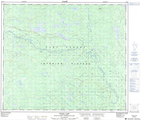
093J06 Bugle Lake Canada topo map, 1:50,000 scale
093J06 Bugle Lake NRCAN topographic map.
Includes UTM and GPS geographic coordinates (latitude and longitude). This 50k scale map is suitable for hiking, camping, and exploring, or you could frame it as a wall map.
Printed on-demand using high resolution, on heavy weight and acid free paper, or as an upgrade on a variety of synthetic materials.
Topos available on paper, Waterproof, Poly, or Tyvek. Usually shipping rolled, unless combined with other folded maps in one order.
- Product Number: NRCAN-093J06
- Parent Topo: TOPO-093J
- Map ID also known as: 093J06, 93J6, 93J06
- Unfolded Size: Approximately 26" high by 36" wide
- Weight (paper map): ca. 55 grams
- Map Type: POD NRCAN Topographic Map
- Map Scale: 1:50,000
- Geographical region: British Columbia, Canada
Neighboring Maps:
All neighboring Canadian topo maps are available for sale online at 1:50,000 scale.
Purchase the smaller scale map covering this area: Topo-093J
Spatial coverage:
Topo map sheet 093J06 Bugle Lake covers the following places:
- Alder Lake - Bent Lake - Bugle Lake - Hawk Lake - Lamb Lake - Loop Lake - Merton Lake - Mole Lake - Mossvale Lake - Poplar Lake - Rack Lake - Racoon Lake - Slender Lake - Snail Lake - Teardrop Lake - Terrapin Lake - Ting Lake - Tureen Lake - Twin Bay Lake - Urn Lake - Wedge Lake - Youngs Lake - Merton Hill - Regional District of Fraser-Fort George - Interior Plateau - Nechako Plateau - Merton Creek - Mossvale Creek - Muskeg River - Salmon River - West Creek - Youngs Creek - Liersch - Merton


