
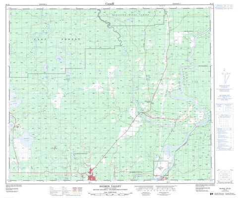
093J02 Salmon Valley Canada topo map, 1:50,000 scale
093J02 Salmon Valley NRCAN topographic map.
Includes UTM and GPS geographic coordinates (latitude and longitude). This 50k scale map is suitable for hiking, camping, and exploring, or you could frame it as a wall map.
Printed on-demand using high resolution, on heavy weight and acid free paper, or as an upgrade on a variety of synthetic materials.
Topos available on paper, Waterproof, Poly, or Tyvek. Usually shipping rolled, unless combined with other folded maps in one order.
- Product Number: NRCAN-093J02
- Parent Topo: TOPO-093J
- Map ID also known as: 093J02, 93J2, 93J02
- Unfolded Size: Approximately 26" high by 36" wide
- Weight (paper map): ca. 55 grams
- Map Type: POD NRCAN Topographic Map
- Map Scale: 1:50,000
- Geographical region: British Columbia, Canada
Neighboring Maps:
All neighboring Canadian topo maps are available for sale online at 1:50,000 scale.
Purchase the smaller scale map covering this area: Topo-093J
Spatial coverage:
Topo map sheet 093J02 Salmon Valley covers the following places:
- Fort George (Shelley) Indian Reserve 2 - Réserve indienne Fort George (Shelley) 2 - Alana Lake - Baurle Lake - Burned Lake - Chief Lake - EM & K Lake - Ferguson Lake - Gunniza Lake - Haglund Lake - Larson Lake - Madden Lake - Martin Lake - Nazul Lake - Nukko Lake - Ramblers Lake - Rancheree Lake - Ruby Lake - Swamp Lake - The Horse Pond - Pilot Mountain - Regional District of Fraser-Fort George - Interior Plateau - Nechako Plateau - Giscome Rapids - Baden Creek - Echo Creek - Emmet Creek - Fleuve Fraser - Fraser River - Garvin Creek - Hospital Creek - Jacura Creek - McMillan Creek - Nukko Creek - Pastor Creek - Recurve Creek - Rensted Creek - Salmon River - Tay Creek - Willow River - Wilson Creek - Wright Creek - Chief Lake - Nukko Lake - Quaw - Salmon Valley - Salmon Valley - Shelley - Tay


