
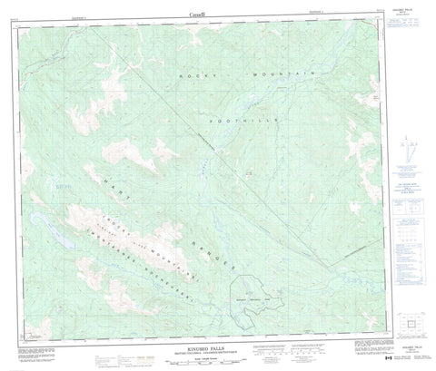
093I14 Kinuseo Falls Canada topo map, 1:50,000 scale
093I14 Kinuseo Falls NRCAN topographic map.
Includes UTM and GPS geographic coordinates (latitude and longitude). This 50k scale map is suitable for hiking, camping, and exploring, or you could frame it as a wall map.
Printed on-demand using high resolution, on heavy weight and acid free paper, or as an upgrade on a variety of synthetic materials.
Topos available on paper, Waterproof, Poly, or Tyvek. Usually shipping rolled, unless combined with other folded maps in one order.
- Product Number: NRCAN-093I14
- Parent Topo: TOPO-093I
- Map ID also known as: 093I14, 93I14
- Unfolded Size: Approximately 26" high by 36" wide
- Weight (paper map): ca. 55 grams
- Map Type: POD NRCAN Topographic Map
- Map Scale: 1:50,000
- Geographical region: British Columbia, Canada
Neighboring Maps:
All neighboring Canadian topo maps are available for sale online at 1:50,000 scale.
Purchase the smaller scale map covering this area: Topo-093I
Spatial coverage:
Topo map sheet 093I14 Kinuseo Falls covers the following places:
- Tumbler Ridge - Barbour Falls - Kinuseo Falls - Hook Lake - Jade Lake - Lake Joan - Lake Joan - Serpent Lake - The Stone Corral - Albright Ridge - Chambers Ridge - Hart Ranges - Montagnes Rocheuses - Mount Babcock - Mount Kostuik - Pyramid Peak - Rocky Mountain Foothills - Rocky Mountains - The Terminator - Turning Mountain - Peace River Regional District - Monkman Park - Babcock Creek - Barbour Creek - Club Creek - Five Cabin Creek - Hook Creek - Imperial Creek - Kinuseo Creek - Mast Creek - Murray River - Tentfire Creek - Twenty Creek - Wolverine River - The Big Spring - The Green Bowl


