
093H13 Hutton Canada topo map, 1:50,000 scale
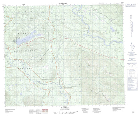
093H13 Hutton NRCAN topographic map.
Includes UTM and GPS geographic coordinates (latitude and longitude). This 50k scale map is suitable for hiking, camping, and exploring, or you could frame it as a wall map.
Printed on-demand using high resolution, on heavy weight and acid free paper, or as an upgrade on a variety of synthetic materials.
Topos available on paper, Waterproof, Poly, or Tyvek. Usually shipping rolled, unless combined with other folded maps in one order.
- Product Number: NRCAN-093H13
- Parent Topo: TOPO-093H
- Map ID also known as: 093H13, 93H13
- Unfolded Size: Approximately 26" high by 36" wide
- Weight (paper map): ca. 55 grams
- Map Type: POD NRCAN Topographic Map
- Map Scale: 1:50,000
- Geographical region: British Columbia, Canada
Neighboring Maps:
All neighboring Canadian topo maps are available for sale online at 1:50,000 scale.
Purchase the smaller scale map covering this area: Topo-093H
Spatial coverage:
Topo map sheet 093H13 Hutton covers the following places:
- Pritchard Lake - Purden Lake - Siwash Lake - Toneko Lake - Mount Purden - Sugarbowl Mountain - Regional District of Fraser-Fort George - Purden Lake Park - Sugarbowl - Grizzly Den Park - Fraser Plateau - Interior Plateau - McGregor Plateau - Scow Rapids - Bowron River - Cluculz Creek - Fly Creek - Fraser River - Grizzly Bear Creek - Hah Creek - Hiyu Creek - Hungary Creek - Kenneth Creek - Moxley Creek - Nitza Creek - Saw Creek - Stevens Creek - Sugarbowl Creek - Swamp Creek - Taspai Creek - Tenaskli Creek - Toneko Creek - Tsus Creek - Wolfe Creek - Hutton - Hutton Mills (Hutton Sett.-Étab.) - Grand Canyon - Rocky Mountain Trench


