
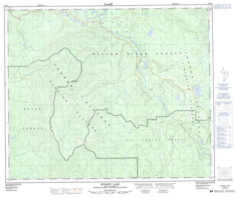
093G09 Pitoney Lake Canada topo map, 1:50,000 scale
093G09 Pitoney Lake NRCAN topographic map.
Includes UTM and GPS geographic coordinates (latitude and longitude). This 50k scale map is suitable for hiking, camping, and exploring, or you could frame it as a wall map.
Printed on-demand using high resolution, on heavy weight and acid free paper, or as an upgrade on a variety of synthetic materials.
Topos available on paper, Waterproof, Poly, or Tyvek. Usually shipping rolled, unless combined with other folded maps in one order.
- Product Number: NRCAN-093G09
- Parent Topo: TOPO-093G
- Map ID also known as: 093G09, 93G9, 93G09
- Unfolded Size: Approximately 26" high by 36" wide
- Weight (paper map): ca. 55 grams
- Map Type: POD NRCAN Topographic Map
- Map Scale: 1:50,000
- Geographical region: British Columbia, Canada
Neighboring Maps:
All neighboring Canadian topo maps are available for sale online at 1:50,000 scale.
Purchase the smaller scale map covering this area: Topo-093G
Spatial coverage:
Topo map sheet 093G09 Pitoney Lake covers the following places:
- Francis Lake - Government Lake - Grizzly Lake - Ispah Lake - Opatcho Lake - Otipemisiwak Lake - Pitoney Lake - Siwash Lake - Ste. Marie Lake - Tsitniz Lake - Mount George - Regional District of Fraser-Fort George - Fraser Plateau - Interior Plateau - Gaborau Creek - George Creek - Government Creek - Holanauh Creek - Hurtubise Creek - Jerry Creek - Little Hixon Creek - Muttsai Creek - Nanisti Creek - Narrowlake Creek - Naver Creek - Piney Creek - Pitoney Creek - Stone Creek - Thursday Creek - Tsaiutl Creek - Tsinta Creek - Tsitniz Creek - Wansa Creek - Willow River - Willow River


