
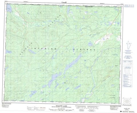
093F15 Hallett Lake Canada topo map, 1:50,000 scale
093F15 Hallett Lake NRCAN topographic map.
Includes UTM and GPS geographic coordinates (latitude and longitude). This 50k scale map is suitable for hiking, camping, and exploring, or you could frame it as a wall map.
Printed on-demand using high resolution, on heavy weight and acid free paper, or as an upgrade on a variety of synthetic materials.
Topos available on paper, Waterproof, Poly, or Tyvek. Usually shipping rolled, unless combined with other folded maps in one order.
- Product Number: NRCAN-093F15
- Parent Topo: TOPO-093F
- Map ID also known as: 093F15, 93F15
- Unfolded Size: Approximately 26" high by 36" wide
- Weight (paper map): ca. 55 grams
- Map Type: POD NRCAN Topographic Map
- Map Scale: 1:50,000
- Geographical region: British Columbia, Canada
Neighboring Maps:
All neighboring Canadian topo maps are available for sale online at 1:50,000 scale.
Purchase the smaller scale map covering this area: Topo-093F
Spatial coverage:
Topo map sheet 093F15 Hallett Lake covers the following places:
- Belisle Reservoir - Bentzi Lake - Bungalow Lake - Cabin Lake - Centre Lake - Chowsunkut Lake - Copley Lake - Dorman Lake - Foster Lakes - François Lake - Hallett Lake - Laurence Lake - Laurie Lake - Leg Lake - Lily Lake - Limit Lake - Lorne Lake - Milligan Lake - Muskrat Lake - Nolan Lake - Norman Lake - Rognaas Lake - Tahultzu Lake - Targe Lake - Triangle Lake - True Triangle Lake - Twentysix Mile Lake - Mount Greer - Nithi Mountain - Regional District of Bulkley-Nechako - Interior Plateau - Nechako Plateau - Belisle Creek - Chowsunkut Creek - Dorman Creek - Eagle Creek - Fifteen Creek - Greer Creek - Nechako River - Nithi River - Robertson Creek - Smith Creek - Tahultzu Creek - Targe Creek - Lily Lake - Eagle Marsh


