
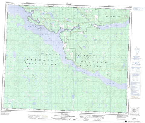
093F12 Marilla Canada topo map, 1:50,000 scale
093F12 Marilla NRCAN topographic map.
Includes UTM and GPS geographic coordinates (latitude and longitude). This 50k scale map is suitable for hiking, camping, and exploring, or you could frame it as a wall map.
Printed on-demand using high resolution, on heavy weight and acid free paper, or as an upgrade on a variety of synthetic materials.
Topos available on paper, Waterproof, Poly, or Tyvek. Usually shipping rolled, unless combined with other folded maps in one order.
- Product Number: NRCAN-093F12
- Parent Topo: TOPO-093F
- Map ID also known as: 093F12, 93F12
- Unfolded Size: Approximately 26" high by 36" wide
- Weight (paper map): ca. 55 grams
- Map Type: POD NRCAN Topographic Map
- Map Scale: 1:50,000
- Geographical region: British Columbia, Canada
Neighboring Maps:
All neighboring Canadian topo maps are available for sale online at 1:50,000 scale.
Purchase the smaller scale map covering this area: Topo-093F
Spatial coverage:
Topo map sheet 093F12 Marilla covers the following places:
- Chief Louis Arm - Chief Louis Bay - Long Bay - Lady Susan Point - Cheslatta Indian Reserve 1 - Réserve indienne Cheslatta 1 - Bear Lake - Cheslatta Lake - Enter Lake - Enz Lake - False Hill Lake - Henson Lake - Intata Lake - Island Lake - McDonell Lake - Nechako Reservoir - Ootsa Lake - Robison Lake - Sam Hardy Lake - Sams Lake - Square Lake - St. Mary Lake - University Lake - White Eye Lake - False Hill - Henson Hill - Intata Hill - Raymond Hill - Tyee Butte - Windfall Hills - Regional District of Bulkley-Nechako - Interior Plateau - Nechako Plateau - Joan Rapids - Pape Rapids - Chelaslie River - Cheslatta River - Henson Creek - Ootsa River - Intata Reach - Marilla


