
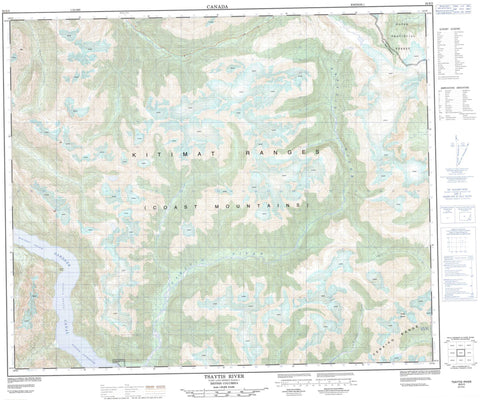
093E05 Tsaytis River Canada topo map, 1:50,000 scale
093E05 Tsaytis River NRCAN topographic map.
Includes UTM and GPS geographic coordinates (latitude and longitude). This 50k scale map is suitable for hiking, camping, and exploring, or you could frame it as a wall map.
Printed on-demand using high resolution, on heavy weight and acid free paper, or as an upgrade on a variety of synthetic materials.
Topos available on paper, Waterproof, Poly, or Tyvek. Usually shipping rolled, unless combined with other folded maps in one order.
- Product Number: NRCAN-093E05
- Parent Topo: TOPO-093E
- Map ID also known as: 093E05, 93E5, 93E05
- Unfolded Size: Approximately 26" high by 36" wide
- Weight (paper map): ca. 55 grams
- Map Type: POD NRCAN Topographic Map
- Map Scale: 1:50,000
- Geographical region: British Columbia, Canada
Neighboring Maps:
All neighboring Canadian topo maps are available for sale online at 1:50,000 scale.
Purchase the smaller scale map covering this area: Topo-093E
Spatial coverage:
Topo map sheet 093E05 Tsaytis River covers the following places:
- Kitlope Anchorage - Price Cove - McKay Point - Nye Point - Queen Point - River Point - South Waterfall Point - Gardner Canal - Kitlope Indian Reserve 16 - Black Dome - Chaîne Côtière - Coast Mountains - Kitimat Ranges - Tenaiko Mountains - Tenaiko Range - Regional District of Kitimat-Stikine - South Seekwyakin Creek - Tenaiko Creek - Tsaytis River - Wachwas Creek - Egeria Reach - Whidbey Reach


