
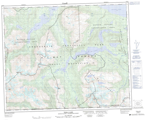
093E02 Tesla Lake Canada topo map, 1:50,000 scale
093E02 Tesla Lake NRCAN topographic map.
Includes UTM and GPS geographic coordinates (latitude and longitude). This 50k scale map is suitable for hiking, camping, and exploring, or you could frame it as a wall map.
Printed on-demand using high resolution, on heavy weight and acid free paper, or as an upgrade on a variety of synthetic materials.
Topos available on paper, Waterproof, Poly, or Tyvek. Usually shipping rolled, unless combined with other folded maps in one order.
- Product Number: NRCAN-093E02
- Parent Topo: TOPO-093E
- Map ID also known as: 093E02, 93E2, 93E02
- Unfolded Size: Approximately 26" high by 36" wide
- Weight (paper map): ca. 55 grams
- Map Type: POD NRCAN Topographic Map
- Map Scale: 1:50,000
- Geographical region: British Columbia, Canada
Neighboring Maps:
All neighboring Canadian topo maps are available for sale online at 1:50,000 scale.
Purchase the smaller scale map covering this area: Topo-093E
Spatial coverage:
Topo map sheet 093E02 Tesla Lake covers the following places:
- Pondosy Bay - Pattullo Glaciers - Cam McEwen Lake - Demion Lake - Eutsuk Lake - Farbus Lake - Olaf Lake - Pondosy Lake - Tesla Lake - Tophole Lake - Wahla Lake - Butler Peak - Chaîne Côtière - Coast Mountains - Gable Mountain - Gadsden Peak - Holmes Ridge - Kitimat Ranges - Mount Pondosy - Mount Preston - Narrows Peak - Pattullo Range - Preston Mountain - Ramsey Peak - Rivers Peak - Salient Mountain - Stadium Mountain - Tesla Mountain - Tsaydaychuz Peak - Two Bear Hill - Wahla Mountain - Central Coast Regional District - Regional District of Bulkley-Nechako - Tweedsmuir Park - Tweedsmuir Recreation Area - Interior Plateau - Nechako Plateau - Capoose Creek - Chezko River - Sakumtha River - Salient Creek - South Creek - Tesla Creek - Tesla River - Pondosy Pass - Sakumtha Pass


