
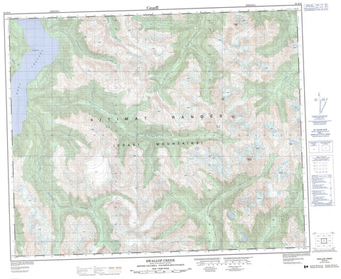
093D10 Swallop Creek Canada topo map, 1:50,000 scale
093D10 Swallop Creek NRCAN topographic map.
Includes UTM and GPS geographic coordinates (latitude and longitude). This 50k scale map is suitable for hiking, camping, and exploring, or you could frame it as a wall map.
Printed on-demand using high resolution, on heavy weight and acid free paper, or as an upgrade on a variety of synthetic materials.
Topos available on paper, Waterproof, Poly, or Tyvek. Usually shipping rolled, unless combined with other folded maps in one order.
- Product Number: NRCAN-093D10
- Parent Topo: TOPO-093D
- Map ID also known as: 093D10, 93D10
- Unfolded Size: Approximately 26" high by 36" wide
- Weight (paper map): ca. 55 grams
- Map Type: POD NRCAN Topographic Map
- Map Scale: 1:50,000
- Geographical region: British Columbia, Canada
Neighboring Maps:
All neighboring Canadian topo maps are available for sale online at 1:50,000 scale.
Purchase the smaller scale map covering this area: Topo-093D
Spatial coverage:
Topo map sheet 093D10 Swallop Creek covers the following places:
- Raphoe Point - Dean Channel - Index Crag - Talcheazoone Lakes - Chaîne Côtière - Coast Mountains - Forward Peak - Kalone Peak - Kitimat Ranges - Mount Creswell - Central Coast Regional District - Christenson Creek - Crag Creek - Humpback Creek - Jump Across Creek - Kalone Creek - Kalone River - Necleetsconnay River - Nooskulla Creek - Nusash Creek - Salloomt River - Sutslem Creek - Swallop Creek


