
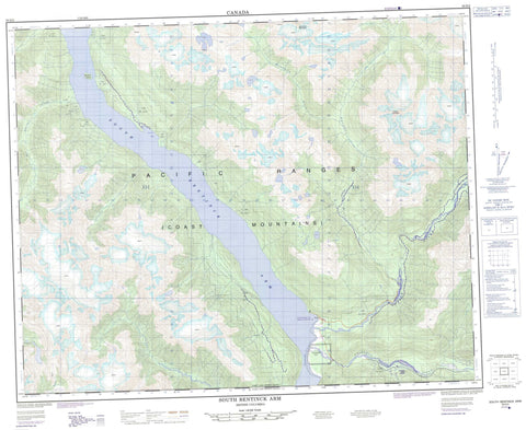
093D02 South Bentinck Arm Canada topo map, 1:50,000 scale
093D02 South Bentinck Arm NRCAN topographic map.
Includes UTM and GPS geographic coordinates (latitude and longitude). This 50k scale map is suitable for hiking, camping, and exploring, or you could frame it as a wall map.
Printed on-demand using high resolution, on heavy weight and acid free paper, or as an upgrade on a variety of synthetic materials.
Topos available on paper, Waterproof, Poly, or Tyvek. Usually shipping rolled, unless combined with other folded maps in one order.
- Product Number: NRCAN-093D02
- Parent Topo: TOPO-093D
- Map ID also known as: 093D02, 93D2, 93D02
- Unfolded Size: Approximately 26" high by 36" wide
- Weight (paper map): ca. 55 grams
- Map Type: POD NRCAN Topographic Map
- Map Scale: 1:50,000
- Geographical region: British Columbia, Canada
Neighboring Maps:
All neighboring Canadian topo maps are available for sale online at 1:50,000 scale.
Purchase the smaller scale map covering this area: Topo-093D
Spatial coverage:
Topo map sheet 093D02 South Bentinck Arm covers the following places:
- Larso Bay - South Bentinck Arm - Taleomey Narrows - Munday Glacier - Réserve indienne Taleomy 3 - Taleomy Indian Reserve 3 - Bensins Island - Howe Lake - Big Snow Mountain - Chaîne Côtière - Coast Mountains - Desire Mountain - Désiré Mountain - Pacific Ranges - Central Coast Regional District - Ocean Falls Regional District - Brynildsen Creek - Clayton Falls Creek - Holt Creek - Hot Springs Creek - Ickna Creek - Kilbella River - Kwatna River - Noeick River - Smitley River - Taleomey River - Tarrant Creek - Tallheo Hot Springs - Tallheo Hotsprings - South Bentinck


