
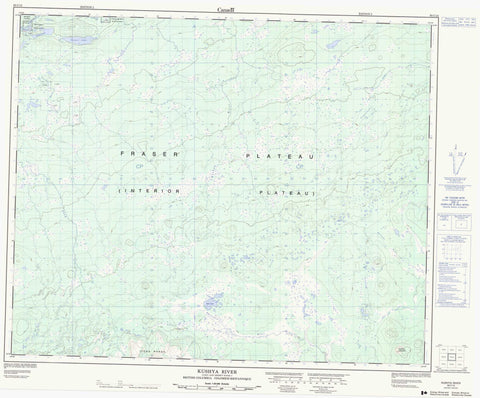
093C15 Kushya River Canada topo map, 1:50,000 scale
093C15 Kushya River NRCAN topographic map.
Includes UTM and GPS geographic coordinates (latitude and longitude). This 50k scale map is suitable for hiking, camping, and exploring, or you could frame it as a wall map.
Printed on-demand using high resolution, on heavy weight and acid free paper, or as an upgrade on a variety of synthetic materials.
Topos available on paper, Waterproof, Poly, or Tyvek. Usually shipping rolled, unless combined with other folded maps in one order.
- Product Number: NRCAN-093C15
- Parent Topo: TOPO-093C
- Map ID also known as: 093C15, 93C15
- Unfolded Size: Approximately 26" high by 36" wide
- Weight (paper map): ca. 55 grams
- Map Type: POD NRCAN Topographic Map
- Map Scale: 1:50,000
- Geographical region: British Columbia, Canada
Neighboring Maps:
All neighboring Canadian topo maps are available for sale online at 1:50,000 scale.
Purchase the smaller scale map covering this area: Topo-093C
Spatial coverage:
Topo map sheet 093C15 Kushya River covers the following places:
- Réserve indienne Tsachla Lake 8 - Réserve indienne Tzetzi Lake 11 - Tsachla Lake Indian Reserve 8 - Tzetzi Lake Indian Reserve 11 - Blue Lake - Itcha Lake - Neyasri Lake - Tsacha Lake - Tsetzi Lake - Baldface Mountain - Itcha Range - Cariboo Regional District - Fraser Plateau - Interior Plateau - Nechako Plateau - Baezaeko River - Chilcotin River - Coglistiko River - Kushya River - Shag Creek - Tsetzi Creek - Twin Lakes Creek - West Road (Blackwater) River


