
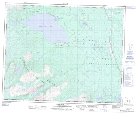
093C03 Charlotte Lake Canada topo map, 1:50,000 scale
093C03 Charlotte Lake NRCAN topographic map.
Includes UTM and GPS geographic coordinates (latitude and longitude). This 50k scale map is suitable for hiking, camping, and exploring, or you could frame it as a wall map.
Printed on-demand using high resolution, on heavy weight and acid free paper, or as an upgrade on a variety of synthetic materials.
Topos available on paper, Waterproof, Poly, or Tyvek. Usually shipping rolled, unless combined with other folded maps in one order.
- Product Number: NRCAN-093C03
- Parent Topo: TOPO-093C
- Map ID also known as: 093C03, 93C3, 93C03
- Unfolded Size: Approximately 26" high by 36" wide
- Weight (paper map): ca. 55 grams
- Map Type: POD NRCAN Topographic Map
- Map Scale: 1:50,000
- Geographical region: British Columbia, Canada
Neighboring Maps:
All neighboring Canadian topo maps are available for sale online at 1:50,000 scale.
Purchase the smaller scale map covering this area: Topo-093C
Spatial coverage:
Topo map sheet 093C03 Charlotte Lake covers the following places:
- Avalanche Lake - Banana Lake - Big Stick Lake - Charlotte Lake - Clearwater Lake - Cowboy Lakes - Crazy Bear (Ginny) Lake - Davidson Lake - Ginny Lake - Hooch Lake - Little Charlotte Lake - McClinchy Lake - Chaîne Côtière - Coast Mountains - Kitimat Ranges - Mount Nogwon - Pacific Ranges - Cariboo Regional District - Central Coast Regional District - Fraser Plateau - Interior Plateau - Atnarko River - Baptiste Creek - Big Stick Creek - Dean River - Maydoe Creek - McClinchy Creek - Whitton Creek - Charlotte Lake - Cariboo Flats


