
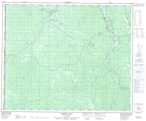
093B13 Marmot Lake Canada topo map, 1:50,000 scale
093B13 Marmot Lake NRCAN topographic map.
Includes UTM and GPS geographic coordinates (latitude and longitude). This 50k scale map is suitable for hiking, camping, and exploring, or you could frame it as a wall map.
Printed on-demand using high resolution, on heavy weight and acid free paper, or as an upgrade on a variety of synthetic materials.
Topos available on paper, Waterproof, Poly, or Tyvek. Usually shipping rolled, unless combined with other folded maps in one order.
- Product Number: NRCAN-093B13
- Parent Topo: TOPO-093B
- Map ID also known as: 093B13, 93B13
- Unfolded Size: Approximately 26" high by 36" wide
- Weight (paper map): ca. 55 grams
- Map Type: POD NRCAN Topographic Map
- Map Scale: 1:50,000
- Geographical region: British Columbia, Canada
Neighboring Maps:
All neighboring Canadian topo maps are available for sale online at 1:50,000 scale.
Purchase the smaller scale map covering this area: Topo-093B
Spatial coverage:
Topo map sheet 093B13 Marmot Lake covers the following places:
- Baezaeko River Indian Reserve 25 - Baezaeko River Indian Reserve 26 - Baezaeko River Indian Reserve 27 - Coglistiko River Indian Reserve 29 - Fishpot Lake Indian Reserve 24 - Lower Fishpot Lake Indian Reserve 24A - Michelle Creek Indian Reserve 22 - Michelle Creek Indian Reserve 23 - Nazco Cemetery Indian Reserve 20A - Nazco Indian Reserve 20 - Nazco Indian Reserve 21 - Réserve indienne Baezaeko River 25 - Réserve indienne Baezaeko River 26 - Réserve indienne Baezaeko River 27 - Réserve indienne Coglistiko River 29 - Réserve indienne Fishpot Lake 24 - Réserve indienne Lower Fishpot Lake 24A - Réserve indienne Michelle Creek 22 - Réserve indienne Michelle Creek 23 - Réserve indienne Nazco 20 - Réserve indienne Nazco 21 - Réserve indienne Nazco Cemetery 20A - Crater Lake - Fishpot Lake - Marmot Lake - Rainbow Lake - Stump Lake - Cariboo Regional District - Nazko Park - Fraser Plateau - Interior Plateau - Baezaeko River - Clisbako River - McFarland Creek - McKay Creek - Michelle Creek - Nazko River - Nugget Creek - Snaking River - Fraser Basin


