
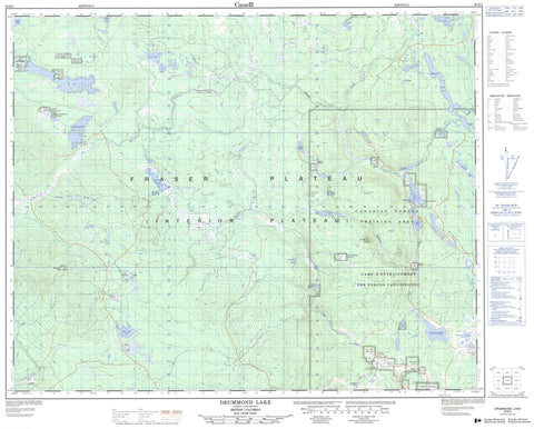
093B02 Drummond Lake Canada topo map, 1:50,000 scale
093B02 Drummond Lake NRCAN topographic map.
Includes UTM and GPS geographic coordinates (latitude and longitude). This 50k scale map is suitable for hiking, camping, and exploring, or you could frame it as a wall map.
Printed on-demand using high resolution, on heavy weight and acid free paper, or as an upgrade on a variety of synthetic materials.
Topos available on paper, Waterproof, Poly, or Tyvek. Usually shipping rolled, unless combined with other folded maps in one order.
- Product Number: NRCAN-093B02
- Parent Topo: TOPO-093B
- Map ID also known as: 093B02, 93B2, 93B02
- Unfolded Size: Approximately 26" high by 36" wide
- Weight (paper map): ca. 55 grams
- Map Type: POD NRCAN Topographic Map
- Map Scale: 1:50,000
- Geographical region: British Columbia, Canada
Neighboring Maps:
All neighboring Canadian topo maps are available for sale online at 1:50,000 scale.
Purchase the smaller scale map covering this area: Topo-093B
Spatial coverage:
Topo map sheet 093B02 Drummond Lake covers the following places:
- Anahim Indian Reserve 6 - Anahim Indian Reserve 7 - Anahim Indian Reserve 8 - Anahim Indian Reserve 9 - Baptiste Meadow Indian Reserve 2 - Réserve indienne Anahim 6 - Réserve indienne Anahim 7 - Réserve indienne Anahim 8 - Réserve indienne Anahim 9 - Réserve indienne Baptiste Meadow 2 - Arthur Lake - Beaver Lake - Callanan Lake - Cornell Lake - Drummond Lake - Fish Lake - Gravel Lake - Henri Lake - Lake Wilkes - Madden Lake - McTaggart Lake - Meldrum Lake - Owen Lake - Raven Lake - Rawhide Lake - Renner Lake - Ross Lake - Roundup Lake - Sapper Lake - Silent Lake - Strouse Lake - Tremblay Lakes - Champ de manoeuvre Chilcotin - Chilcotin Training Area - Mount Alex Graham - The Dome - Cariboo Regional District - Fraser Plateau - Interior Plateau - Beaverdam Creek - Cornell Creek - Mackin Creek - Meldrum Creek - Riske Creek - Shell Creek - South Anahim Creek - Taylor Creek - Tremblay Creek - Zenzaco Creek - Chilcotin Forest - Ninkynee - Stack Valley - Colliers Meadow - Davis Meadows - Dome Mountain Meadow - Hayes Meadow - Peavine Meadow - Povelofskie Meadow - Strouse Meadow - Taggart Meadow


