
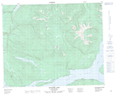
093A11 Spanish Lake Canada topo map, 1:50,000 scale
093A11 Spanish Lake NRCAN topographic map.
Includes UTM and GPS geographic coordinates (latitude and longitude). This 50k scale map is suitable for hiking, camping, and exploring, or you could frame it as a wall map.
Printed on-demand using high resolution, on heavy weight and acid free paper, or as an upgrade on a variety of synthetic materials.
Topos available on paper, Waterproof, Poly, or Tyvek. Usually shipping rolled, unless combined with other folded maps in one order.
- Product Number: NRCAN-093A11
- Parent Topo: TOPO-093A
- Map ID also known as: 093A11, 93A11
- Unfolded Size: Approximately 26" high by 36" wide
- Weight (paper map): ca. 55 grams
- Map Type: POD NRCAN Topographic Map
- Map Scale: 1:50,000
- Geographical region: British Columbia, Canada
Neighboring Maps:
All neighboring Canadian topo maps are available for sale online at 1:50,000 scale.
Purchase the smaller scale map covering this area: Topo-093A
Spatial coverage:
Topo map sheet 093A11 Spanish Lake covers the following places:
- Faux Bay - Hobson Arm - North Arm - Shoal Bay - Shoals Bay - Bean Point - Haggens Point - Lynx Peninsula - Ninds Point - Rocker Point - Wild Oat Point - Wildoat Point - Beehive Island - Twain Islands - Twin Islands - Annette Lake - Benny Lake - Boswell Lake - Cariboo Lake - Five Mile Lake - Freshette Lake - Hepburn Lake - Hobson Lake - Klinne Lake - Nina Lake - Quesnel Lake - Six Mile Lake - Spanish Lake - Tasse Lake - Badger Peak - Browntop Mountain - Goose Peak - Goose Range - Mount Borland - Mount Brew - Mount Stevenson - Mount Warren - Quesnel Highland - Spanish Mountain - Three Ladies Mountain - Welcome Mountain - Cariboo Regional District - Fraser Plateau - Interior Plateau - Abbott Creek - Amos Creek - Asserlind Creek - Barkers Creek - Blackbear Creek - Cariboo River - Cedar Creek - Clearbrook Creek - Collins Creek - Collinsby Creek - Devoe Creek - Frank Creek - Grain Creek - Ishkloo Creek - Keithley Creek - Klinne Creek - Long Creek - Marshall Creek - Roaring Creek - Rollie Creek - Seller Creek - Shoals Creek - Six Mile Creek - Spanish Creek - Spinks Creek - Spusks Creek - Wasko Creek - Wilby Creek - Winkley Creek


