
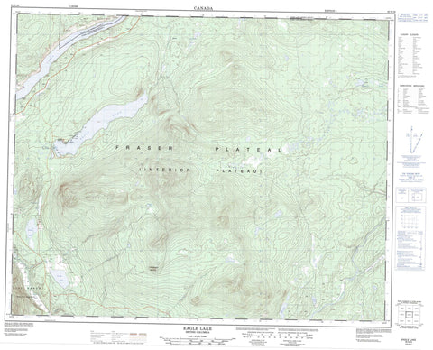
092N16 Eagle Lake Canada topo map, 1:50,000 scale
092N16 Eagle Lake NRCAN topographic map.
Includes UTM and GPS geographic coordinates (latitude and longitude). This 50k scale map is suitable for hiking, camping, and exploring, or you could frame it as a wall map.
Printed on-demand using high resolution, on heavy weight and acid free paper, or as an upgrade on a variety of synthetic materials.
Topos available on paper, Waterproof, Poly, or Tyvek. Usually shipping rolled, unless combined with other folded maps in one order.
- Product Number: NRCAN-092N16
- Parent Topo: TOPO-092N
- Map ID also known as: 092N16, 92N16
- Unfolded Size: Approximately 26" high by 36" wide
- Weight (paper map): ca. 55 grams
- Map Type: POD NRCAN Topographic Map
- Map Scale: 1:50,000
- Geographical region: British Columbia, Canada
Neighboring Maps:
All neighboring Canadian topo maps are available for sale online at 1:50,000 scale.
Purchase the smaller scale map covering this area: Topo-092N
Spatial coverage:
Topo map sheet 092N16 Eagle Lake covers the following places:
- Bidwell Lakes - Buckhorn Lake - Buckhorn Lakes - Cochin Lake - Eagle Lake - Lunch Lake - Marsh Lake - McGhee Lake - Pollywog Lake - Rant Lake - Rossé Lake - Tatla Lake - Wager Lake - Whitesand Lake - Little Meadow Mountain - Niut Range - Pacific Ranges - Splinter Hill - Cariboo Regional District - Fraser Plateau - Interior Plateau - Bidwell Creek - Brittany Creek - Chavez Creek - Chilko River - Cochin Creek - Homathko River - Hook Creek - Moir Creek - Quakie Creek - Skinner Creek - Taccatolie Creek - Trier Creek


