
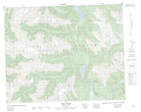
092M15 Tzeo River Canada topo map, 1:50,000 scale
092M15 Tzeo River NRCAN topographic map.
Includes UTM and GPS geographic coordinates (latitude and longitude). This 50k scale map is suitable for hiking, camping, and exploring, or you could frame it as a wall map.
Printed on-demand using high resolution, on heavy weight and acid free paper, or as an upgrade on a variety of synthetic materials.
Topos available on paper, Waterproof, Poly, or Tyvek. Usually shipping rolled, unless combined with other folded maps in one order.
- Product Number: NRCAN-092M15
- Parent Topo: TOPO-092M
- Map ID also known as: 092M15, 92M15
- Unfolded Size: Approximately 26" high by 36" wide
- Weight (paper map): ca. 55 grams
- Map Type: POD NRCAN Topographic Map
- Map Scale: 1:50,000
- Geographical region: British Columbia, Canada
Neighboring Maps:
All neighboring Canadian topo maps are available for sale online at 1:50,000 scale.
Purchase the smaller scale map covering this area: Topo-092M
Spatial coverage:
Topo map sheet 092M15 Tzeo River covers the following places:
- South Bentinck Arm - Bentinck Narrows - Second Narrows - Third Narrows - Michel Lake - Owikeno Lake - Chaîne Côtière - Coast Mountains - Mount Kendall - Mount Playter - Mount Quissy - Pacific Ranges - Central Coast Regional District - Ocean Falls Regional District - Ashlulm Creek - Asseek River - Chuckwalla River - Frazee Creek - Ickna Creek - Inziana River - Keet Creek - Kilbella River - Kull Creek - Phinney Creek - Sheemahant River - Tarrant Creek - Tzeo River - Washwash River


