
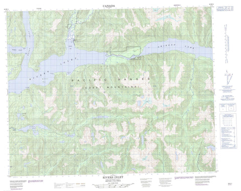
092M11 Rivers Inlet Canada topo map, 1:50,000 scale
092M11 Rivers Inlet NRCAN topographic map.
Includes UTM and GPS geographic coordinates (latitude and longitude). This 50k scale map is suitable for hiking, camping, and exploring, or you could frame it as a wall map.
Printed on-demand using high resolution, on heavy weight and acid free paper, or as an upgrade on a variety of synthetic materials.
Topos available on paper, Waterproof, Poly, or Tyvek. Usually shipping rolled, unless combined with other folded maps in one order.
- Product Number: NRCAN-092M11
- Parent Topo: TOPO-092M
- Map ID also known as: 092M11, 92M11
- Unfolded Size: Approximately 26" high by 36" wide
- Weight (paper map): ca. 55 grams
- Map Type: POD NRCAN Topographic Map
- Map Scale: 1:50,000
- Geographical region: British Columbia, Canada
Neighboring Maps:
All neighboring Canadian topo maps are available for sale online at 1:50,000 scale.
Purchase the smaller scale map covering this area: Topo-092M
Spatial coverage:
Topo map sheet 092M11 Rivers Inlet covers the following places:
- Big Bay - Hardy Inlet - Kilbella Bay - McPhee Bay - Moses Inlet - Rivers Inlet - Scandinavia Bay - Shotbolt Bay - McAllister Point - Owikeno Point - Ralph Point - Rutherford Point - Katit Indian Reserve 1 - Kiltala Indian Reserve 2 - Réserve indienne Katit 1 - Réserve indienne Kiltala 2 - Katit Island - Good Hope Lakes - Klonas Lake - McLean Lake - Owikeno Lake - Sandell Lake - Smoker Lake - Chaîne Côtière - Coast Mountains - Pacific Ranges - Central Coast Regional District - Allard Creek - Amback Creek - Barer Creek - Chuckwalla River - Cooke Creek - Dallery Creek - Johnston Creek - Kahtit Creek - Kilbella River - Lockhart Gordon Creek - Macks Creek - Matilda Creek - McTavish Creek - Medowse Creek - Nekite River - Newichy Creek - Nicknaqueet River - Sandell River - Shotbolt Creek - Smoker Creek - Sowick Creek - Wannock River - Kilbella Bay - Oweekeno - Rivers Inlet


