
092L16 Kingcome Inlet Canada topo map, 1:50,000 scale
092L16 Kingcome Inlet NRCAN topographic map.
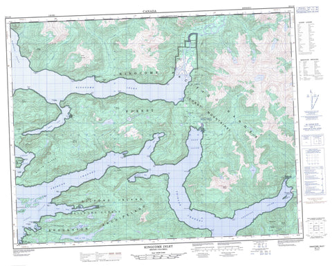
Includes UTM and GPS geographic coordinates (latitude and longitude). This 50k scale map is suitable for hiking, camping, and exploring, or you could frame it as a wall map.
Printed on-demand using high resolution, on heavy weight and acid free paper, or as an upgrade on a variety of synthetic materials.
Topos available on paper, Waterproof, Poly, or Tyvek. Usually shipping rolled, unless combined with other folded maps in one order.
- Product Number: NRCAN-092L16
- Parent Topo: TOPO-092L
- Map ID also known as: 092L16, 92L16
- Unfolded Size: Approximately 26" high by 36" wide
- Weight (paper map): ca. 55 grams
- Map Type: POD NRCAN Topographic Map
- Map Scale: 1:50,000
- Geographical region: British Columbia, Canada
Neighboring Maps:
All neighboring Canadian topo maps are available for sale online at 1:50,000 scale.
Purchase the smaller scale map covering this area: Topo-092L
Spatial coverage:
Topo map sheet 092L16 Kingcome Inlet covers the following places:
- Anchorage Cove - Echo Bay - Kingcome Inlet - Kwatsi Bay - Scott Cove - Wahkana Bay - Watson Cove - Brown Point - Clam Point - Esther Point - Evangeline Point - Frances Point - Galway Point - Gormely Point - Halliday Point - Irvine Point - King Point - Kwatsi Point - Loaf Point - London Point - Miller Point - Petley Point - Philadelphia Point - Powell Point - Rainy Point - Raleigh Point - Sybilla Point - Terease Point - Trafford Point - Walker Point - White Point - Wishart Peninsula - Belleisle Sound - Bond Sound - Hornet Passage - Simoom Sound - Thompson Sound - Tribune Channel - Viner Sound - Wakeman Sound - Ahta Indian Reserve 3 - Bat-l-ki Indian Reserve 3 - Charles Creek Indian Reserve 2 - Kakweken Indian Reserve 4 - Meetup Indian Reserve 2 - Quaee Indian Reserve 7 - Réserve indienne Ahta 3 - Réserve indienne Bat-l-ki 3 - Réserve indienne Charles Creek 2 - Réserve indienne Kakweken 4 - Réserve indienne Meetup 2 - Réserve indienne Quaee 7 - Broughton Archipelago - Burdwood Group - Denham Island - Edmond Islands - Edmond Islet - Gilford Island - Hunter Island - Louisa Islet - Penn Island - Penn Islet - Sackville Island - Walker Islet - Loose Lake - Pointer Lake - Viner Lake - Bald Mountain - Carrington Hills - Chaîne Côtière - Charles Hill - Coast Mountains - Craig Hills - Kingcome Mountains - Kingcome Range - Miriam Range - Mount Appolina - Mount Constable - Mount Dunsterville - Mount Everingham - Mount Foster - Mount Hooper - Mount Hulton - Mount Mathison - Mount Plowden - Mount Prescott - Mount Read - Mount Sophia - Mount Walter - Pacific Ranges - Smyth Cone - Regional District of Mount Waddington - Echo Bay Marine Park - Ahta River - Charles Creek - Corsan Creek - Holden Creek - Kakweiken River - Kingcome River - Lull Creek - McAlister Creek - Esther Shoal - Evangeline Rock - Smith Rock - Echo Bay - Kingcome - Kingcome Inlet - Scott Cove - Simoom Sound - Thompson Sound - Ahta Valley


