
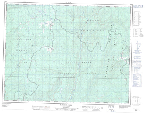
082E15 Damfino Creek Canada topo map, 1:50,000 scale
082E15 Damfino Creek NRCAN topographic map.
Includes UTM and GPS geographic coordinates (latitude and longitude). This 50k scale map is suitable for hiking, camping, and exploring, or you could frame it as a wall map.
Printed on-demand using high resolution, on heavy weight and acid free paper, or as an upgrade on a variety of synthetic materials.
Topos available on paper, Waterproof, Poly, or Tyvek. Usually shipping rolled, unless combined with other folded maps in one order.
- Product Number: NRCAN-082E15
- Parent Topo: TOPO-082E
- Map ID also known as: 082E15, 82E15
- Unfolded Size: Approximately 26" high by 36" wide
- Weight (paper map): ca. 55 grams
- Map Type: POD NRCAN Topographic Map
- Map Scale: 1:50,000
- Geographical region: British Columbia, Canada
Neighboring Maps:
All neighboring Canadian topo maps are available for sale online at 1:50,000 scale.
Purchase the smaller scale map covering this area: Topo-082E
Spatial coverage:
Topo map sheet 082E15 Damfino Creek covers the following places:
- Derickson Lake - Graystoke Lake - Linden Lake - Loch Katrine - Loch Larsen - Loch Long - Loch Lost - Loch Oichie - Nevertouch Lake - Reith Lakes - St. Margaret Lake - Two John Lake - Columbia Mountains - Jubilee Mountain - Lightning Peak - Midway Mountains - Midway Range - Monashee Mountains - Mount Moore - Okanagan Highland - Regional District of Central Kootenay - Regional District of Central Okanagan - Regional District of Kootenay-Boundary - Granby Park - Interior Plateau - Thompson Plateau - Bruer Creek - Damfino Creek - Dictator Creek - Dry Creek - Fish Hawk Creek - Goatskin Creek - Gunnar Creek - Haggart Creek - Kettle River - Loch Katrine Creek - Mike Creek - Mission Creek - Mohr Creek - Nevertouch Creek - Pearson Creek - Rendell Creek - Ryder Creek - Split Creek - Stanley Creek - Stevenson Creek - Stove Creek - Teepee Creek - Waterloo Creek - West Kettle River - Westkettle River - Whitefoot Creek - Winnifred Creek - Woodmouse Creek


