![Buy map Brazil Executive [Tubed]](http://store.yellowmaps.com/cdn/shop/products/big_5380bb5e-3789-415c-8a11-16e5540ad885_large.jpg?v=1706689127)
Brazil Executive [Tubed]
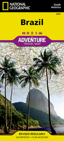
National Geographics Brazil Executive wall map is fittingly one of the largest maps available of the largest country in South America, and the fifth largest in the World. It shows the entire country in exceptional detail, including Brazils 26 states and 1 federal district, plus the coastal islands that make up Fernando de Noronha National Marine Park, Abrolhos National Park, and Arquipelago dos Abrolhos.
The map shows over 1,000 named places including state capitals, primary and secondary towns, political boundaries, important infrastructure, and all key landforms. Brazils national parks are clearly highlighted and labeled, as is the countrys rich network of rivers that feed the Amazon–the worlds second longest river.
The map is packaged in a two inch diamater clear plastic tube. The tube has a decorative label showing a thumbnail of the map with dimensions and other pertinent information.
- Product Number: NG_BRA_E_WA_11
- Reference Product Number: 2288198M
- ISBN: 9781597754347
- Date of Publication: 6/1/2011
- Unfolded (flat) Size: 41 inches high by 38 inches wide
- Map format: Wall
- Map type: Trade Maps - Political
- Geographical region: Brazil