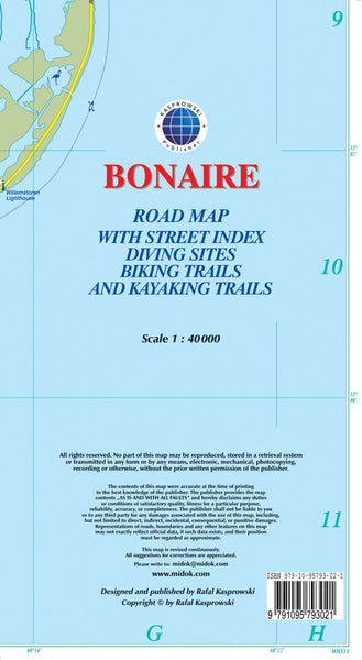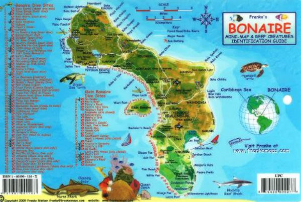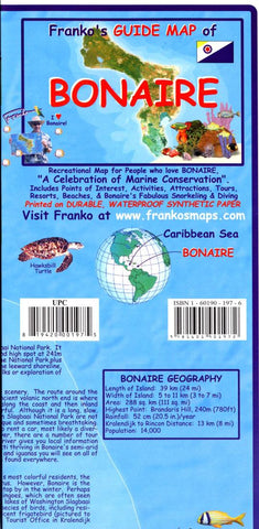
Frankos guide map of Bonaire
Waterproof folded guide map, ideal for scuba divers and snorkelers. Provides conditions and attractions at scuba diving sites. Includes illustrations and common names of Caribbean Sea creatures. Shows snorkeling sites, scuba sites, major roads, dirt roads, places of interest, lodging/resorts. Chart of average air and surface water temperatures by month. Reverse site of map shows greater Kralendijk and Rincon inset. Photo tour of Bonaire.
- Product Number: FM_BONAIRE_18
- Reference Product Number: 2034439M
- ISBN: 9781601901972
- Date of Publication: 6/1/2018
- Folded Size: 8.66 inches high by 4.33 inches wide
- Unfolded (flat) Size: 25.2 inches high by 16.73 inches wide
- Map format: Folded
- Map type: Trade Maps - Tourist
- Geographical region: Bonaire, Sint Eustatius and Saba