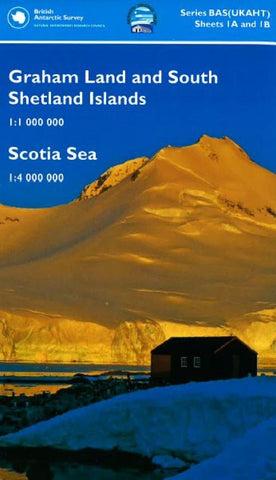
Graham Land, South Shetland Islands, and Scotia Sea by British Antarctic Survey
This double-sided map provides an overview of the northern Antarctic Peninsula area on side A, with a regional-scale map covering the Scotia Sea region on side B. It is an ideal companion for a voyage from South America or the Falkland Islands to South Georgia or the Antarctic Peninsula.
Side A:
1: 1 000 000 scale. This map covers the South Shetland Islands and the Antarctic Peninsula as far south as Marguerite Bay at 68°30?S.
It shows topographic features such as: Coastline; ice shelves; rock exposure; contours; selected mountain summit heights; hill-shaded terrain; bathymetry, and major place-names; permanent and summer-only Scientific Research Stations and Historic Sites and Monuments.
Side B:
1: 4 000 000 scale.
This map covers the Scotia Sea region including: Argentina and Chile south of 50°S (including Ushuaia and Punta Arenas); the Falkland Islands; South Georgia; South Sandwich Islands; South Orkney Islands and the northern Antarctic Peninsula.
- Product Number: 2216988M
- Product Code: BAS_GRAHAM
- ISBN: 9780856651915
- Year of Publication: 2015
- Folded Size: 9.06 x 5.12 inches
- Unfolded Size: 33.86 x 31.5 inches
- Map type: Folded Map
- Geographical region: Antarctica