Free Shipping on map orders over $300 - Prices in US$
North Pacific Ocean - Hawaiian Islands (NGA-504-4) by National Geospatial-Intelligence Agency
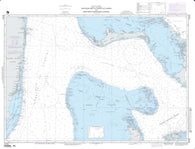
North Pacific Ocean - Middle Part (NGA-521-11) by National Geospatial-Intelligence Agency
North Pacific Ocean - Southwestern Part (NGA-52-1) by National Geospatial-Intelligence Agency
North Pacific Ocean - Western Part (NGA-522-87) by National Geospatial-Intelligence Agency
North Pacific Ocean - Western Portion Of Japan (NGA-509-4) by National Geospatial-Intelligence Agency
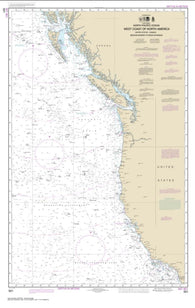
North Pacific Ocean West Coast Of North America Mexican Border To Dixon Entrance (501-13) by NOAA
North Pacific Ocean; Sea Of Okhotsk (NGA-512-2) by National Geospatial-Intelligence Agency
North Pender Island to/a Thetis Island by Canadian Hydrographic Service
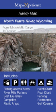
North Platte River, Wyoming Fishing Map
North Pond (Laminated)
North Pond Fishing Map
North Port Strait Of Florida And New Providence (NGA-26320-5) by National Geospatial-Intelligence Agency
North Queensland Travel Map
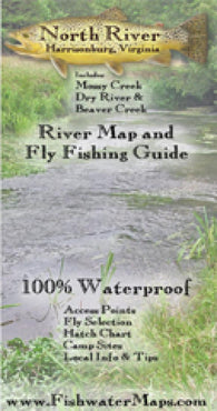
North River VA River Map and Fly Fishing Guide
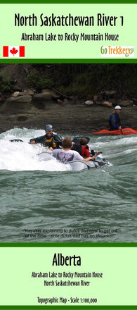
North Saskatchewan 1 | Canoe Routes | by GoTrekkers
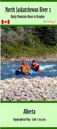
North Saskatchewan 2 | Canoe Routes | by GoTrekkers
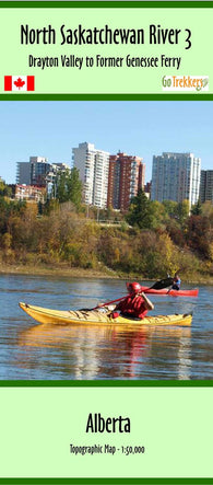
North Saskatchewan 3 | Canoe Routes | by GoTrekkers
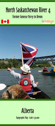
North Saskatchewan 4 | Canoe Routes | by GoTrekkers
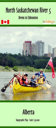
North Saskatchewan 5 | Canoe Routes | by GoTrekkers
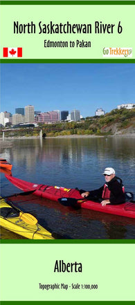
North Saskatchewan 6 | Canoe Routes | by GoTrekkers
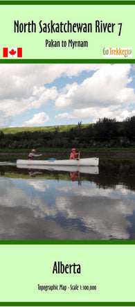
North Saskatchewan 7 | Canoe Routes | by GoTrekkers
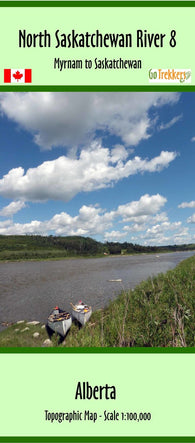
North Saskatchewan 8 | Canoe Routes | by GoTrekkers
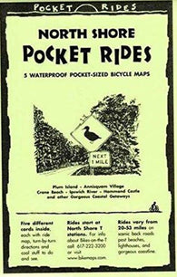
North Shore : pocket rides : 5 waterproof pocket-sized bicycle maps
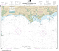
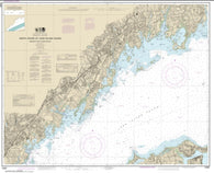
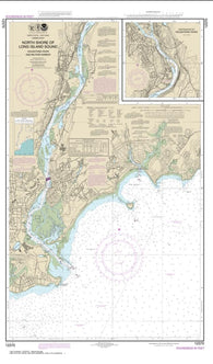
North Shore of Long Island Sound Duck Island to Madison Reef (12374-15) by NOAA
North Shore of Long Island Sound Greenwich Point to New Rochelle (12367-25) by NOAA
North Shore of Long Island Sound Guilford Harbor to Farm River (12373-15) by NOAA
North Shore of Long Island Sound Housatonic River and Milford Harbor (12370-21) by NOAA
North Shore of Long Island Sound Niantic Bay and Vicinity (13211-16) by NOAA
North Shore of Long Island Sound Sherwood Point to Stamford Harbor (12368-28) by NOAA
North Shore of Long Island Sound Stratford to Sherwood Point (12369-27) by NOAA
North Shore, MA : Lynn to Newburyport : city street map = Lynn/Salem : Newburyport : Gloucester : city street map
North Shore, Massachusetts - Lynn to Newburyport by GM Johnson
North Star Bugt Anchorage (NGA-38343-2) by National Geospatial-Intelligence Agency
North Westland Rural Road Map
North Westland, New Zealand, Rural Roads Topographic Map by Kiwi Maps
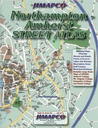
Northampton-Amherst, New York, Atlas by Jimapco
Northeast Coast Of South America (NGA-107-3) by National Geospatial-Intelligence Agency
NORTHEAST COAST OF SOUTH ISLAND: KAIKOURA PENINSULA/INGLES BAY/PORT UNDERWOOD (6212) by Land Information New Zealand (LINZ)
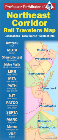
Northeast corridor : rail travelers map
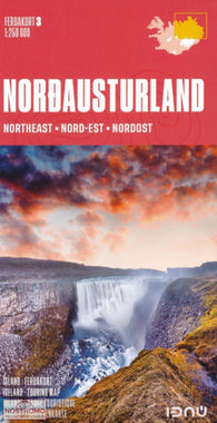
Northeast Iceland (Nordausturland)