Free Shipping on map orders over $300
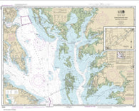
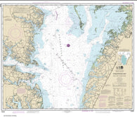
Chesapeake Bay Smith Point to Cove Point (12230-66) by NOAA
Chesapeake Bay Tangier Sound Northern Part (12231-30) by NOAA
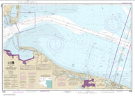
Chesapeake Bay Thimble Shoal Channel (12256-18) by NOAA
Chesapeake Bay Wolf Trap to Pungoteague Creek (12226-19) by NOAA
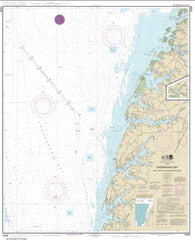
Chesapeake Bay Wolf Trap to Smith Point (12225-60) by NOAA
Chester County, Pennsylvania, Atlas by Kappa Map Group
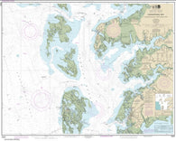
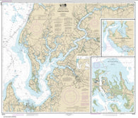
Chester River; Kent Island Narrows, Rock Hall Harbor and Swan Creek (12272-32) by NOAA
Chetac & Birch Lake (Sawyer Co) Fishing Map
Chetek Chain (Barron Co) Fishing Map
Cheticamp to/a Cape St. Lawrence by Canadian Hydrographic Service
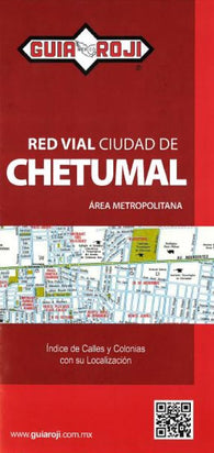
Chetumal, Mexico by Guia Roji
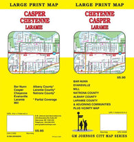
Cheyenne, Casper, and Laramie, Wyoming, Large Print Map by GM Johnson
Chiachi Island to Nagai Island; Chiachi Islands Anchorage (16556-6) by NOAA
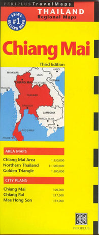
Chiang Mai : area maps, Chiang Mai rea 1:150,000, northern Thailand 1:1,000,000, Golden Triangle 1:500,000 : city plans, Chiang Mai 1:20,000, Chiang Rai 1:17,500, Mae Hong Son 1:14,000
Chiang Mai, Thailand, Map n Guide by Groovy Map Co.
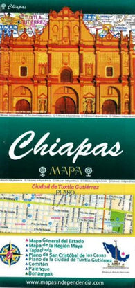
Chiapas, Mexico, State and Major Cities Map by Ediciones Independencia
Chiapas, Mexico, State Map by Guia Roji
Chiba City Map
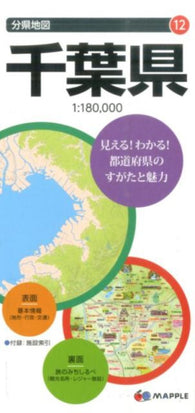
Chiba Prefecture Map
CHIC : Chicago pop-up map
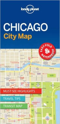
Chicago (2023) City Map
Chicago : Bilingual Street Map
Chicago : city map
Chicago : street map
Chicago City Map
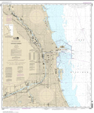
Chicago Harbor (14928-23) by NOAA
Chicago Inside Out Guide
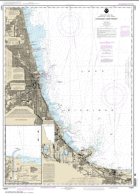
Chicago Lake Front; Gary Harbor (14927-25) by NOAA
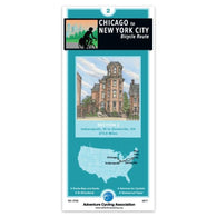
Chicago to New York City Bicycle Route, #2
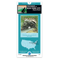
Chicago to New York City Bicycle Route, Philadelphia Alternate #1
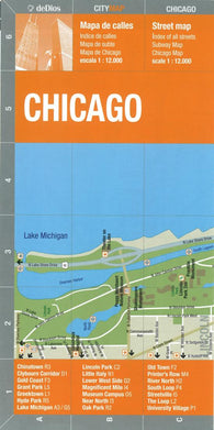
Chicago, Bilingual Street Map by deDios
Chicago, Downtown, Illinois by Great Pacific Recreation & Travel Maps
Chicago, IL Portrait (reprinted/revised 2012)
Chicago, Illinois by Borch GmbH.
Chicago, Illinois by Kappa Map Group
Chicago, Illinois by Rand McNally
Chicago, Illinois by Red Maps
Chicago, Illinois City Destination Map and Travel Guide