Free Shipping on map orders over $300
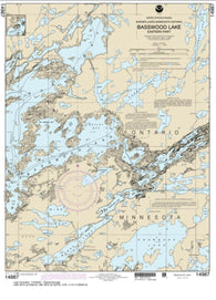
Basswood Lake, Eastern Part (14987-9) by NOAA
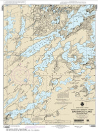
Basswood Lake, Western Part (14988-10) by NOAA
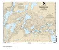
Basswood River (14990-4) by NOAA
Bataan Tourist Map
Bateau Island to/a Byng Inlet by Canadian Hydrographic Service
Bathurst Inlet - Central Portion by Canadian Hydrographic Service
Bathurst Inlet - Northern Portion/Partie Nord by Canadian Hydrographic Service
Bathurst Inlet - Southern Portion/Partie Sud by Canadian Hydrographic Service
Bathurst Island to/a Borden Island by Canadian Hydrographic Service
Batiscan au/to Lac Saint-Pierre by Canadian Hydrographic Service
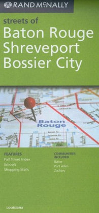
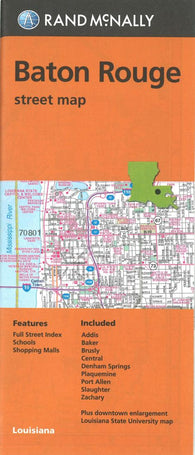
Baton Rogue, Shreveport and Bossier City by Rand McNally
Baton Rogue, Shreveport and Bossier City, Louisiana Street Map
Baton Rogue, Shreveport and Bossier City, Louisiana Street Map by Rand McNally
Baton Rouge, Louisiana by The Seeger Map Company Inc.
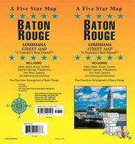
Baton Rouge, Louisiana Street Map
BÅTSFJORD - HAVNINGBERG (112) by Kartverket
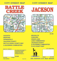
Battle Creek & Jackson, Michigan, Street Map by GM Johnson
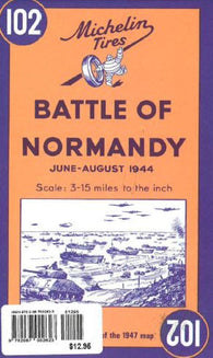
Battle of Normandy, 1944 Reproduction (102)
Battle of Normandy, 1944 Reproduction (102) by Michelin Maps and Guides
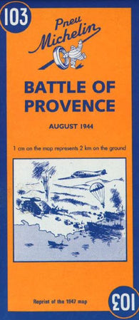
Battle Of Provence (103) by Michelin Maps and Guides
Battle of Provence : August 1944
Battlefields of the Civil War by National Geographic Maps, Bella Terra Publishing LLC
Battles of the Civil War
Battles of the Civil War, Tubed by National Geographic Maps
Battles of the Revolutionary War and War of 1812: 2 sided [Tubed]
Bavaria North - Franconia - Oberpfalz, road map 1:200,000
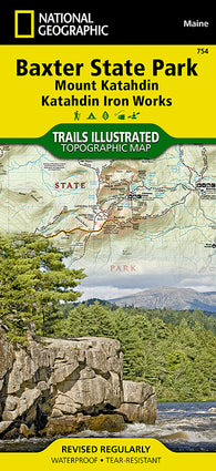
Baxter State Park & Mt. Katahdin, Maine, Map 754 by National Geographic Maps
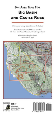
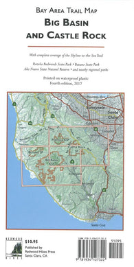
Bay Area Trail Map: Big Basin and Castle Rock by Redwood Hikes Press
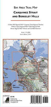
Bay Area Trail Map: Carquinez Strait and Berkeley Hills
Bay Area Trail Map: Carquinez Strait and Berkeley Hills by Redwood Hikes Press
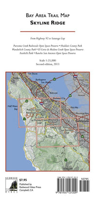
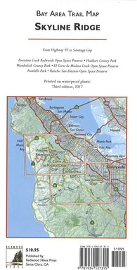
Bay Area Trail Map: Skyline Ridge by Redwood Hikes Press
Bay Bulls to/a St. Marys Bay by Canadian Hydrographic Service
Bay dEspoir and/et Hermitage Bay by Canadian Hydrographic Service
Bay Of Biscay; Brest To Cabo Finisterre (NGA-37025-26) by National Geospatial-Intelligence Agency
Bay of Fundy to Cape Cod (13260-41) by NOAA
Bay of Fundy/Baie de Fundy (Inner Portion) by Canadian Hydrographic Service
Bay of Gibraltar (NGA-52043) by National Geospatial-Intelligence Agency
BAY OF ISLANDS (5125) by Land Information New Zealand (LINZ)


![Buy map Battles of the Revolutionary War and War of 1812: 2 sided [Tubed]](http://store.yellowmaps.com/cdn/shop/products/big_ed40cd9e-dec7-4c61-9fa8-860bcc676981_195x.jpg?v=1706689503)