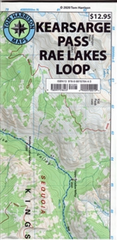
Kearsarge Pass : Rae Lakes Loop
This waterproof, tear resistant shaded relief topographic map from Tom Harrison maps shows Kearsarge Pass and Rae Lakes Loop at 1: 42,240 scale. This map has contour intervals of 80 feet and is GPS compatible and has a complete UTM grid. This map mainly features Kearsage Pass and the Rae Lake Loop, but it also covers Paradise Valley, Vidette Meadow, Charlotte Lake, Onion Valley, and Bubbs Creek.
- Product Number: TH_KEARSARGE_20
- Reference Product Number: 2368535M
- ISBN: 9780991578443
- Date of Publication: 6/1/2020
- Folded Size: 8.66 inches high by 4.33 inches wide
- Unfolded (flat) Size: 16.93 inches high by 25.59 inches wide
- Map format: Folded
- Map type: Trade Maps - Hiking
- Geographical region: United States
- Geographical subregion: California