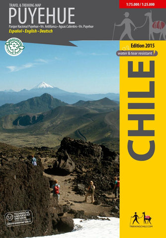
Puyehue - Travel and Trekking Map
The first travel and trekking map of the National Park Puyehue in the Los Lagos region. Overview map 1:75,000 showing the whole park northeast of the Puyehue and Rupanco lakes, with the volcanoes Puyehue (2236 m) and Casablanca (1990 m). Detail maps 1:25,000 resp. 1:40,000 of the areas Anticura and Antillanca.
GPS compatible, with hiking routes, level curves every 50 m, mountain huts, lodgings and campsites. Landscape pictures and drawings of the local fauna. Map developed by the Institute for Cartography at the Dresden Technical University.
Trekkingchile, 1st edition 2015
Travel & Trekking Map, Southern Chile, scale 1:75,000 / 1:25,000
English – Spanish - German.
- Product Number: TC_PUY_15
- Reference Product Number: 2314587M
- ISBN: 9789568925291
- Date of Publication: 6/1/2015
- Folded Size: 7 inches high by 5 inches wide
- Unfolded (flat) Size: 22 inches high by 34 inches wide
- Map format: Folded
- Map type: Trade Maps - Hiking
- Geographical region: Chile