Laguna del Maule - Winter Trails
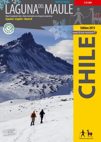
The first map ever with information on avalanche risks in South America! This ski and snowshoe map shows the area around the Laguna del Maule east of Talca and was developed by the Institute for Cartography at the Dresden Technical University. Using a special software which considers key factors as slope, land cover and prevailing wind directions, danger areas have been designated. The 10 snowshoe tours shown in the map are briefly described on the back, a QR code links to the detailed route description in the App Trekkingchile.
GPS compatible, with snow-hiking routes, level curves every 50 m, mountain huts, landscape pictures and drawings of the local fauna.
Trekkingchile, 1st edition 2015
Winter Map with avalanche risks, Central Chile, 1:35,000
Printed on tear- and water-resistant, environmentally friendly Stone Paper.
English - Spanish.
- Product Number: TC_LDM_15
- Reference Product Number: 2314586M
- ISBN: 9789568925383
- Date of Publication: 6/1/2015
- Folded Size: 7.09 inches high by 5.12 inches wide
- Unfolded (flat) Size: 20.47 inches high by 24.41 inches wide
- Map format: Folded
- Map type: Trade Maps - Travel
- Geographical region: Chile