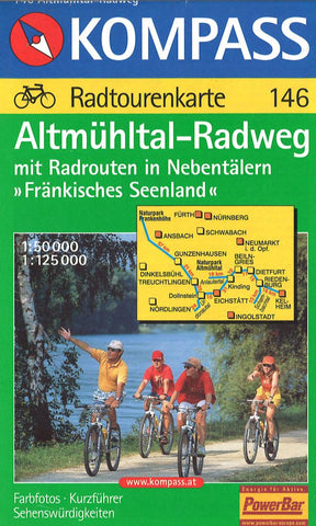
Altmuhltal-Radweg Cycling Map
This Kompass map is a topographic map with trails and other hiking information added. The map is printed in color on one side and is packaged in a clear, water-resistant plastic sleeve with a guide in German.
- Product Number: KOM_146_AR_4
- Reference Product Number: 2293678M
- ISBN: 9783854916192
- Date of Publication: 6/1/2004
- Folded Size: 7.5 inches high by 5 inches wide
- Unfolded (flat) Size: 14 inches high by 38.5 inches wide
- Map format: Folded
- Map type: Trade Maps - Hiking
- Geographical region: Germany