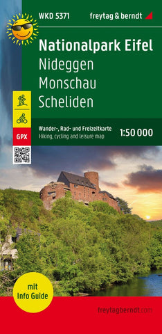
National Park Eifel, hiking map 1:50,000, with infoguide
The German -Belgian Nature Park Hohes Venn - Eifel and the Eifel nature park form the center of the map section. Many cross-border cycling and hiking trails let the varied landscape explore: forested ridge, raised bog landscape and the deeply cut Rurtal. Viewpoints identified as Eifel views compensate for the climbs. Where stops are worthwhile, you can find out in the infote part of the map.
- Product Number: FB_WKD_50_5371_G_23
- Reference Product Number: - None -
- ISBN: 9783707920444
- Date of Publication: 10/30/2023
- Folded Size: 8.06 inches high by 3.93 inches wide
- Unfolded (flat) Size: 8.06 inches high by 3.93 inches wide
- Map format: Folded
- Map type: Trade Maps - Hiking
- Geographical region: Germany

