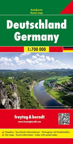
Germany, road map 1:700,000
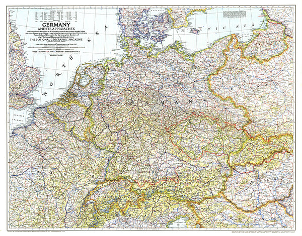
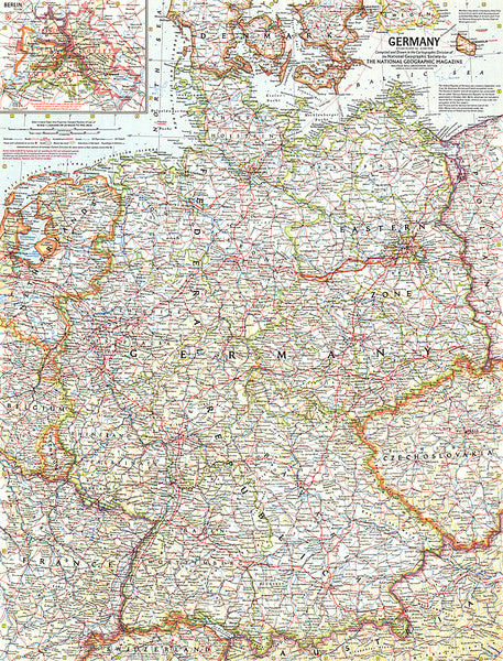
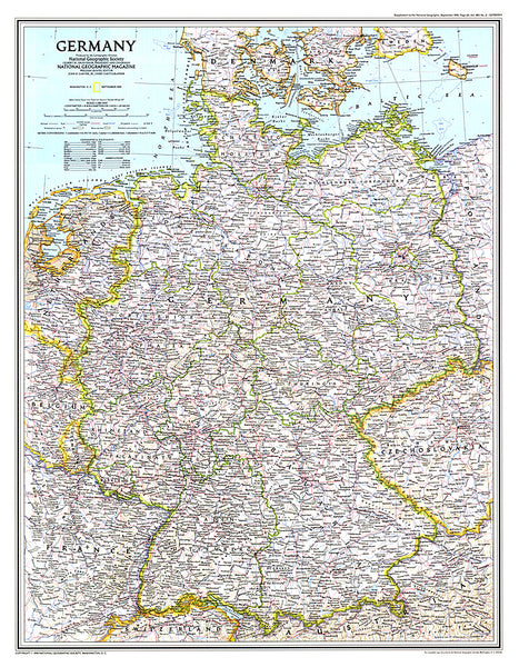
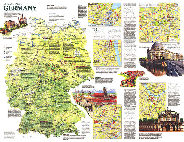
Germany at 1:700,000 on a large, single-sided road map from Freytag & Berndt, with a separate extensive index booklet listing locations with postcodes and providing street plans of 18 town centres in the country’s main cities.
The map shows the country’s road network, clearly distinguishing motorways and main connecting routes, shown with driving distances, from local roads. Motorway interchanges are named and services are marked. Railway lines are included. Topography is indicated by relief shading with plenty of names of geographical features such as mountain and hill ranges, woodlands, regional parks and other protected areas, etc. Small symbols indicate locations of castles and other historical buildings and monuments, but the map is not primarily designed to show tourist information.
Latitude and longitude lines are drawn at 30’ intervals. Multilingual map legend includes English. Extensive index is in a separate booklet attached to the map cover and lists location
- Product Number: FB_D_20
- Reference Product Number: - None -
- ISBN: 9783850842631
- Date of Publication: 7/2/2020
- Folded Size: 10.02 inches high by 5.11 inches wide
- Unfolded (flat) Size: 10.02 inches high by 5.11 inches wide
- Map format: Folded
- Map type: Trade Maps - Road
- Geographical region: Germany

