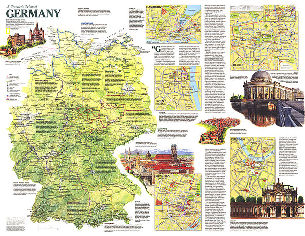
Oberfranken/Vogtland - Germany Cycling Map Sheet 18
This map is one of the official maps of the Allgemeinen Deutschen Fahrrad-Club e.V., the Germany cycling federation. This map has contours at different intervals depending on the terrain, with steep roads also indicated by gradient marking. An overprint highlights national and local cycling routes and indicates various facilities, such as railway stations with bike rentals, cycle repair shops, campsites, youth hostels and shelters. The map covers approximately 156 x 138 km (97 x 86 miles). Map and legend in German only.
- Product Number: ADFC_18_OBER_21
- Reference Product Number: - None -
- ISBN: 9783969900635
- Date of Publication: 6/1/2021
- Folded Size: 9.06 inches high by 4.72 inches wide
- Unfolded (flat) Size: 35.43 inches high by 50.39 inches wide
- Map format: Folded
- Map type: Trade Maps - Bicycling
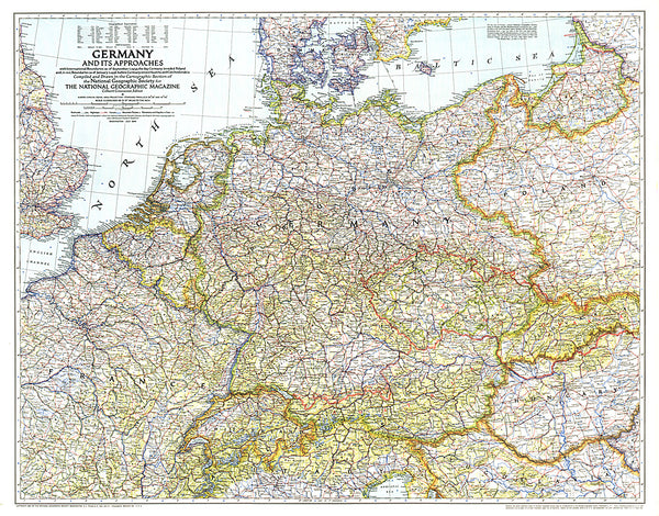
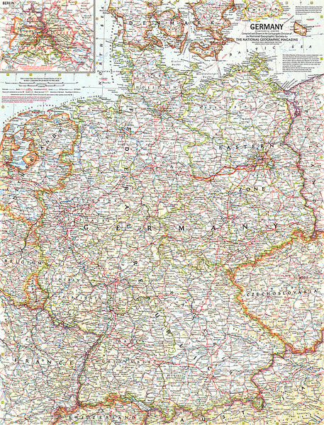
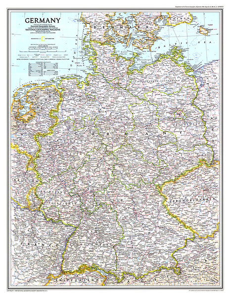
- Geographical region: Germany