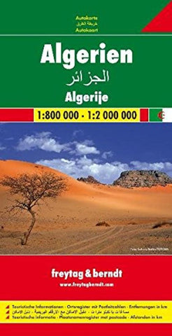
Algeria by Freytag-Berndt und Artaria
Explore Algeria with this Freytag&Berndt road map. The best way to plan your trip, prepare your itinerary, and to travel independently in this country.
One side shows Northern Algeria at a scale of 1cm=8km. The other side shows the rest of the country -from Ghardaia to the Niger/Mali borders- at a scale of 1cm=20km.
This map contains a place name index in a 16-page booklet; touristic information: airports, places of interest, archaeological sites, ruins, religious buildings, oil-fields, spas, wells,
The legend is in English, Arabic, French, German, Italian, Spanish, Dutch, Czech, Hungarian, and Slovak. All place names are indicated in Roman script.
- Product Number: 2026033M
- Product Code: FB_ALG
- ISBN: 9783707909661
- Year of Publication: 2009
- Folded Size: 10.24 x 5.120 inches
- Unfolded Size: 32.28 x 47.64 inches
- Map type: Folded Map
- Geographical region: Algeria

