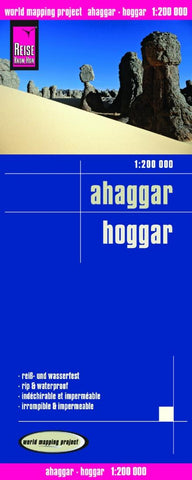
Ahaggar = Hoggar Road Map
The Ahaggar Mountains on a double-sided, waterproof and tear-resistant, GPS compatible map at 1:200,000 from Reise Know-How with detailed topographic information, plus roads and desert tracks, settlements, etc.
The map presents part of the Algerian Sahara also known as The Hoggar and covers an area, with Tamanrasset roughly in its centre, stretching between approximately:
West - East: from 5 ° to 6°20’ east in its northern half and 6°55’ east on its southern part
North – South: from 24° to 21°10’ north
Topography is shown by very effective relief shading based on satellite imagery, with contour lines at 750 metres, numerous spot heights throughout the whole region and names of peaks, mountain ranges, etc. Seasonal rivers and wadis are marked, many of them shown with names. Also marked are palm groves and permanent or seasonal wells. The map shows the main road leading to and south of Tamanrasset, plus other local roads, tracks and sand tracks, as well as set
- Product Number: RKH_HOGGAR_11
- Reference Product Number: 2149522M
- ISBN: 9783831772384
- Date of Publication: 6/1/2011
- Folded Size: 10.24 inches high by 4.72 inches wide
- Unfolded (flat) Size: 39.37 inches high by 27.56 inches wide
- Map format: Folded
- Map type: Trade Maps - Road
- Geographical region: Algeria