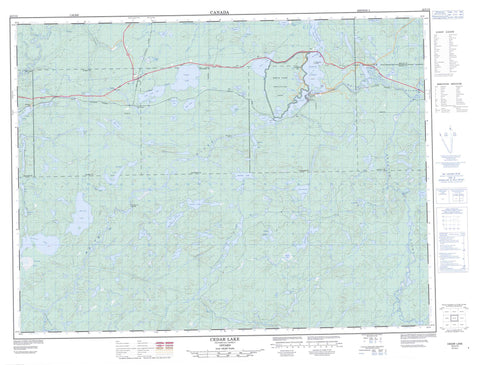
042C12 Cedar Lake Canada topo map, 1:50,000 scale
042C12 Cedar Lake NRCAN topographic map.
Includes UTM and GPS geographic coordinates (latitude and longitude). This 50k scale map is suitable for hiking, camping, and exploring, or you could frame it as a wall map.
Printed on-demand using high resolution, on heavy weight and acid free paper, or as an upgrade on a variety of synthetic materials.
Topos available on paper, Waterproof, Poly, or Tyvek. Usually shipping rolled, unless combined with other folded maps in one order.
- Product Number: NRCAN-042C12
- Parent Topo: TOPO-042C
- Map ID also known as: 042C12, 42C12
- Unfolded Size: Approximately 26" high by 36" wide
- Weight (paper map): ca. 55 grams
- Map Type: POD NRCAN Topographic Map
- Map Scale: 1:50,000
- Geographical region: Ontario, Canada
Neighboring Maps:
All neighboring Canadian topo maps are available for sale online at 1:50,000 scale.
Purchase the smaller scale map covering this area: Topo-042C
Spatial coverage:
Topo map sheet 042C12 Cedar Lake covers the following places:
- Babitabonanik Bay - Giles Bay - Government Bay - Kichidabadik Inlet - Pickerel Bay - Regan Point - The Narrows - Angler Falls - Baptisimon Chute - 70 - 71 - 72 - 73 - 74 - Bomby - Brothers - Bryant - Laberge - Lecours - McCron - Thunder Bay - Mobert Indian Reserve 82 - Pic Mobert Indian Reserve South - Pic Mobert North Indian Reserve - Pic Mobert Reserve North - Pic Mobert Reserve South - Réserve indienne Mobert 82 - Réserve indienne Pic Mobert North - Réserve indienne Pic Mobert South - Marathon Island - Animons Lake - Bananish Lake - Binekan Lake - Botham Lake - Bradley Lake - Buie Lake - Cache Lake - Caribou Throat Lake - Carl Lake - Cedar Lake - Chain of Lakes - Cigar Lake - Clearwater Lake - Dalton Lake - Deer Lake - Dunc Lake - Egg Lake - Elephant Lake - Elk Lake - Ell Lake - Elora Lake - Euclide Lake - Fearless Lake - Gaby Lake - Handle Lake - Hayward Lake - Herrick Lake - Jijime Lake - Jumbo Lake - Kenel Lake - Lampi's Lake - Little Cedar Lake - Long Lake - Marie Lake - Mashkigomin Lake - Molson Lake - Moose Lake - Muddy Lake - Necklace Lake - Nokanee Lake - Nursery Lake - Oskabukuta Lake - Patina Lake - Patio Lake - Pear Lake - Rule Lake - Rust Lake - Spangle Lake - Spotter Lake - Swamp Lake - Triplet Lakes - Trudeau Lake - White Lake - Winzhinabi Lake - Kwinkwaga Ground Moraine Uplands Conservation Reserve - White Lake Provincial Park - Moosehorn Rapids - Alder Creek - Barbara Creek - Bertrand Creek - Binekan Creek - Black River - Bremner River - Carl Creek - Cedar Creek - Chief's Creek - East Bremner River - Gaby Creek - Gowan Creek - Hayward Creek - Kenel Creek - Mussy Creek - Okadak Creek - Oskabukuta River - Philip Creek - Philips Creek - Rein Creek - Valley Creek - Wabikoba Creek - White River - Winzhinabi Creek - Chicagonce Portage - Mashibashi Portage - Bertrand - Hemlo - Mobert - Regan - Struthers - Trudeau


