
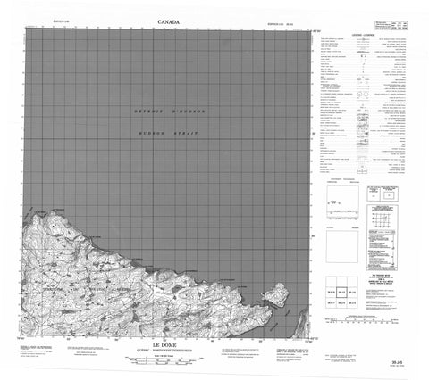
035J05 Le Dome Canada topo map, 1:50,000 scale
035J05 Le Dome NRCAN topographic map.
Includes UTM and GPS geographic coordinates (latitude and longitude). This 50k scale map is suitable for hiking, camping, and exploring, or you could frame it as a wall map.
Printed on-demand using high resolution, on heavy weight and acid free paper, or as an upgrade on a variety of synthetic materials.
Topos available on paper, Waterproof, Poly, or Tyvek. Usually shipping rolled, unless combined with other folded maps in one order.
- Product Number: NRCAN-035J05
- Parent Topo: TOPO-035J
- Map ID also known as: 035J05, 35J5, 35J05
- Unfolded Size: Approximately 26" high by 36" wide
- Weight (paper map): ca. 55 grams
- Map Type: POD NRCAN Topographic Map
- Map Scale: 1:50,000
- Geographical region: Nunavut, Canada
Neighboring Maps:
All neighboring Canadian topo maps are available for sale online at 1:50,000 scale.
Purchase the smaller scale map covering this area: Topo-035J
Spatial coverage:
Topo map sheet 035J05 Le Dome covers the following places:
- Fjord de Salluit - Kugluk Cove - Cap Augier - Cap Boisseau - Cap Brassier - Cap de l'Estre - Cap De L'Estre - Cap Josselin - Cap Jurie - Cap Louys-Martin - Cap Tiblemont - Cap Valets - Pointe Aupaluttaaluk - Pointe Taliruapik - Détroit d'Hudson - Ford Channel - Passe Ford - Île Qikirtaaruapik - Île Qikirtaq - Sugluk Island - Lac Iqalugalik - Lac Napirviik Tasingak - Colline Qirvaaluk - Le Dôme - Piémont Pattavik - Ruisseau Iqalugalik - Ruisseau Kiassautialuk


