
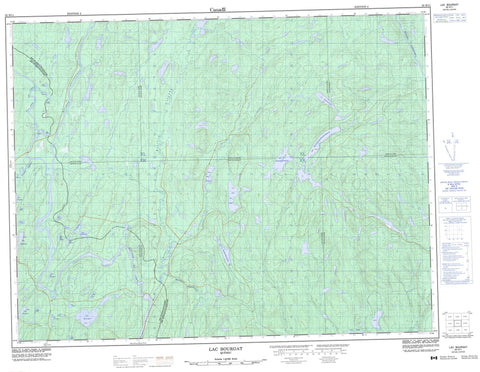
032H11 Lac Bourgat Canada topo map, 1:50,000 scale
032H11 Lac Bourgat NRCAN topographic map.
Includes UTM and GPS geographic coordinates (latitude and longitude). This 50k scale map is suitable for hiking, camping, and exploring, or you could frame it as a wall map.
Printed on-demand using high resolution, on heavy weight and acid free paper, or as an upgrade on a variety of synthetic materials.
Topos available on paper, Waterproof, Poly, or Tyvek. Usually shipping rolled, unless combined with other folded maps in one order.
- Product Number: NRCAN-032H11
- Parent Topo: TOPO-032H
- Map ID also known as: 032H11, 32H11
- Unfolded Size: Approximately 26" high by 36" wide
- Weight (paper map): ca. 55 grams
- Map Type: POD NRCAN Topographic Map
- Map Scale: 1:50,000
- Geographical region: Quebec, Canada
Neighboring Maps:
All neighboring Canadian topo maps are available for sale online at 1:50,000 scale.
Purchase the smaller scale map covering this area: Topo-032H
Spatial coverage:
Topo map sheet 032H11 Lac Bourgat covers the following places:
- Aiguillon - Bullion - Corbeil - Division d'enregistrement de Lac-Saint-Jean-Ouest - Guyart - Lacombe - Lecocq - Lecoq - Lac à la Truite - Lac Adjutor - Lac Arlay - Lac Bagas - Lac Bluche - Lac Bourgat - Lac Cardonnet - Lac Catignan - Lac Cicouane - Lac Citoys - Lac Daguilne - Lac de la Tempête - Lac de l'Impasse - Lac de Tête - Lac des Barbarées - Lac des Canots - Lac des Violettes - Lac Diou - Lac Dorat - Lac du 9 - Lac du Chef - Lac du Petit Vallon - Lac du Quota - Lac Elizabeth - Lac Géry - Lac Girard - Lac Grun - Lac Hôtesse - Lac Jans - Lac Kanamekushutsh - Lac Kaneshekamatsh - Lac Katshishemashimekushkatsh - Lac Kauashikamatsh - Lac Long - Lac Nandy - Lac Niquette - Lac Perron - Lac Segos - Lac Ulcot - Lac Urepel - Lac Vert - Lac Vias - Lac Voisin - Lacs Babet - Petit lac du Chef - Petit lac Long - Rivière Azianne - Rivière Crochue - Rivière des Cèdres - Rivière Dobleau - Rivière du Chef - Rivière Elizabeth - Rivière Hilarion - Rivière Nestaocano - Rivière Ouasiemsca - Ruisseau Kuekuhuatsheu


