
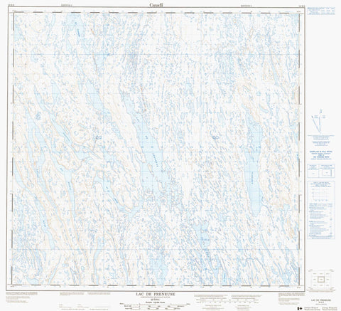
024K06 Lac De Freneuse Canada topo map, 1:50,000 scale
024K06 Lac De Freneuse NRCAN topographic map.
Includes UTM and GPS geographic coordinates (latitude and longitude). This 50k scale map is suitable for hiking, camping, and exploring, or you could frame it as a wall map.
Printed on-demand using high resolution, on heavy weight and acid free paper, or as an upgrade on a variety of synthetic materials.
Topos available on paper, Waterproof, Poly, or Tyvek. Usually shipping rolled, unless combined with other folded maps in one order.
- Product Number: NRCAN-024K06
- Parent Topo: TOPO-024K
- Map ID also known as: 024K06, 24K6, 24K06
- Unfolded Size: Approximately 26" high by 36" wide
- Weight (paper map): ca. 55 grams
- Map Type: POD NRCAN Topographic Map
- Map Scale: 1:50,000
- Geographical region: Nunavut, Canada
Neighboring Maps:
All neighboring Canadian topo maps are available for sale online at 1:50,000 scale.
Purchase the smaller scale map covering this area: Topo-024K
Spatial coverage:
Topo map sheet 024K06 Lac De Freneuse covers the following places:
- Lac Anderson - Lac De Freneuse - Lac Diana - Lac Enish - Lac Ferguson - Lac Klein - Lac Lacasse - Lac Lizotte - Lac Olmstead - Lac Phillips - Lac Qangattajuvinirtalik - Lac Tuvaittulik


