
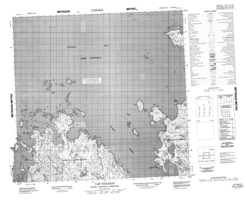
024J16 Cap Naujaat Canada topo map, 1:50,000 scale
024J16 Cap Naujaat NRCAN topographic map.
Includes UTM and GPS geographic coordinates (latitude and longitude). This 50k scale map is suitable for hiking, camping, and exploring, or you could frame it as a wall map.
Printed on-demand using high resolution, on heavy weight and acid free paper, or as an upgrade on a variety of synthetic materials.
Topos available on paper, Waterproof, Poly, or Tyvek. Usually shipping rolled, unless combined with other folded maps in one order.
- Product Number: NRCAN-024J16
- Parent Topo: TOPO-024J
- Map ID also known as: 024J16, 24J16
- Unfolded Size: Approximately 26" high by 36" wide
- Weight (paper map): ca. 55 grams
- Map Type: POD NRCAN Topographic Map
- Map Scale: 1:50,000
- Geographical region: Nunavut, Canada
Neighboring Maps:
All neighboring Canadian topo maps are available for sale online at 1:50,000 scale.
Purchase the smaller scale map covering this area: Topo-024J
Spatial coverage:
Topo map sheet 024J16 Cap Naujaat covers the following places:
- Baie d'Ungava - Kangirsinialuk Bay - Tasiujaaluk Bay - Ungava Bay - Cap Kattatuuq - Cap Naujaat - Cap Qairtualuk - Pointe Elson - Pointe Hubbard - Pointe Kapitattalik - Beacon Island - Île Beacon - Île Kaugaq - Île Naujakallak - Île Qikirtaaluk - Îles Naujakallak - Kaugaq Island - Naujaat Qikirtangit Islands - Naujakallak Islands - Nuluarniavik Islet - Nuvukutaaq Islands - Pakkivik Islands - Pissiulaarsitik Islands - Qikirtaaluk Island - Qikirtakuluk Islands - Sallijukak Islet - Tikiraaluk Island - Ukkusissaalik Island - Lacs Tasiguluk - Colline Qallirusillik - Colline Qarqatannaaluk - Mushuau Shipu - Pupun Nikau Shipu - Rivière George - Rivière Kangertialuksoak


