
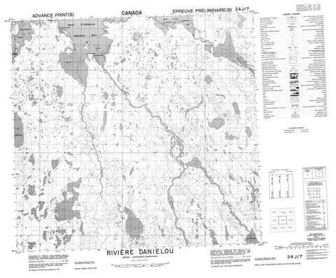
024J07 Riviere Danielou Canada topo map, 1:50,000 scale
024J07 Riviere Danielou NRCAN topographic map.
Includes UTM and GPS geographic coordinates (latitude and longitude). This 50k scale map is suitable for hiking, camping, and exploring, or you could frame it as a wall map.
Printed on-demand using high resolution, on heavy weight and acid free paper, or as an upgrade on a variety of synthetic materials.
Topos available on paper, Waterproof, Poly, or Tyvek. Usually shipping rolled, unless combined with other folded maps in one order.
- Product Number: NRCAN-024J07
- Parent Topo: TOPO-024J
- Map ID also known as: 024J07, 24J7, 24J07
- Unfolded Size: Approximately 26" high by 36" wide
- Weight (paper map): ca. 55 grams
- Map Type: POD NRCAN Topographic Map
- Map Scale: 1:50,000
- Geographical region: Nunavut, Canada
Neighboring Maps:
All neighboring Canadian topo maps are available for sale online at 1:50,000 scale.
Purchase the smaller scale map covering this area: Topo-024J
Spatial coverage:
Topo map sheet 024J07 Riviere Danielou covers the following places:
- Baie d'Ungava - Qurlutuup Paanga Bay - Tunulliarusiq Bay - Ungava Bay - Camp Qurlutuq - Île Pissiulaarsiti - Inuksulik Island - Tulugaliurvik Island - Lac Anallaavik - Lac Isiuralittaalik - Lac Kititalik - Lac Maujarjuaq - Lac Nataasaujalik - Lac Nuluarniavik - Lac Tasialuk Sanguajuq - Lac Tasirpaarusiq - Lac Tesialuk - Lac Tunulliq - Lac Tunulliup - Rivière Danielou - Rivière Daniélou - Rivière Guesnier - Rivière Lagrevé - Rivière Qurlutuq - Rivière Tunulic - Ruisseau Kititalik


